Transport Functions
Multimodal
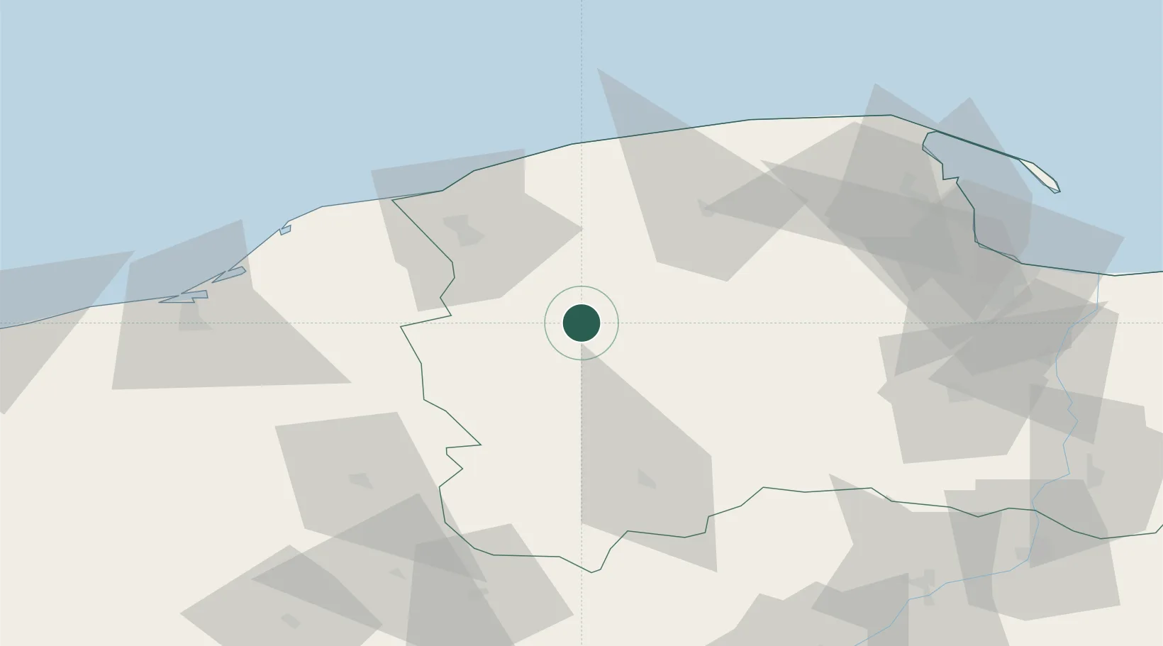
Hub Profile
Place type
District seat
Region
Pomerania
Population
902
Time zone
Europe/Warsaw
Elevation
112 m
Location
Nearby Logistics Neighbours
Cities
- 1Kolczyglowy9 km
- 2Czarna Dabrowka21 km
- 3Miastko34 km
- 4Korzybie34 km
- 5Stezyca39 km
Airports
- 1Cewice Naval Air Base35 km
- 2Gdańsk Lech Wałęsa Airport74 km
- 3Swidwin Military Air Base111 km
- 4Malbork Królewo Air Base117 km
- 5Miroslawiec Military Air Base123 km
Trade Zones
- 1Słupsk SEZ (Słupska SSE)37 km
- 2Pomeranian SEZ (Pomorska SSE)52 km
- 3Gdansk Port Duty Free Zone87 km
- 4Szczecin Duty Free Zone203 km
- 5Swinoujscie Duty Free Zone205 km
DatabookThe Record of Consolidated Knowledge
Poland beyond logistics?