Transport Functions
Rail
Road
Hub Profile
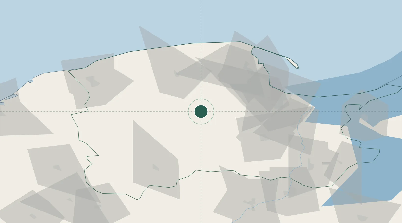
Place type
Populated place
Region
Pomerania
Population
2,200
Time zone
Europe/Warsaw
Elevation
165 m
Location
Nearby Logistics Neighbours
Cities
- 1Chmielno14 km
- 2Wielki Klincz15 km
- 3Kielpino19 km
- 4Kartuzy20 km
- 5Kamienica Królewska21 km
Airports
Trade Zones
DatabookThe Record of Consolidated Knowledge
Poland beyond logistics?