Transport Functions
Port
Road
Hub Profile
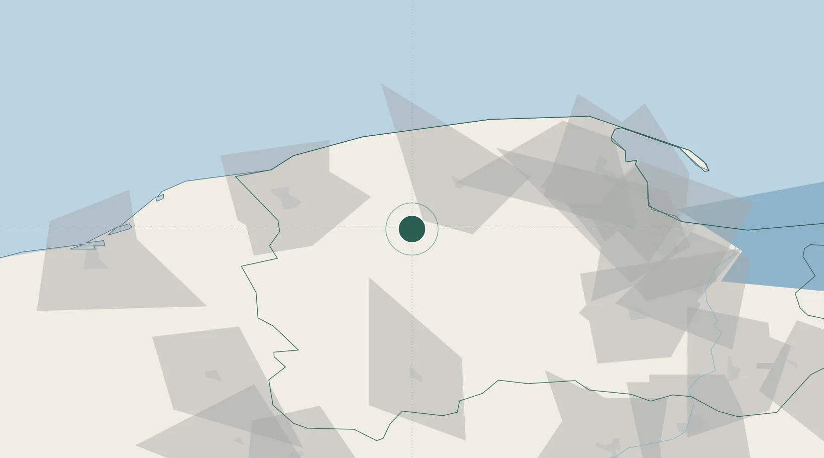
Place type
District seat
Region
Pomerania
Population
1,112
Time zone
Europe/Warsaw
Elevation
124 m
Location
Nearby Logistics Neighbours
Cities
- 1Borzytuchom21 km
- 2Kamienica Królewska22 km
- 3Kolczyglowy24 km
- 4Stezyca31 km
- 5Chmielno36 km
Airports
Trade Zones
DatabookThe Record of Consolidated Knowledge
Poland beyond logistics?