Transport Functions
Multimodal
Hub Profile
Place type
Populated place
Region
Greater Poland
Time zone
Europe/Warsaw
Elevation
128 m
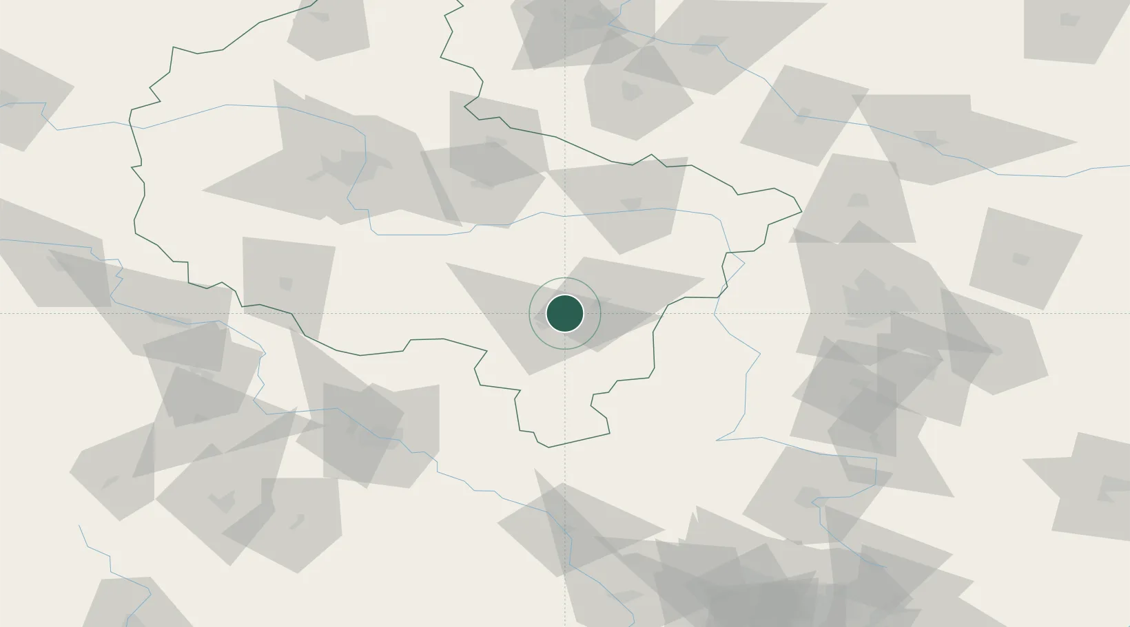
Location
Nearby Logistics Neighbours
Cities
- 1Nowe Skalmierzyce5 km
- 2Zloczew12 km
- 3Plblz21 km
- 4Zelazków23 km
- 5Odolanów23 km
Airports
- 1Powidz Military Air Base74 km
- 2Łask Air Base88 km
- 3Leźnica Wielka Air Base89 km
- 4Krzesiny Military Air Base95 km
- 5Copernicus Wrocław Airport100 km
Trade Zones
- 1Łódź SEZ (ōódzka SSE)106 km
- 2Legnica SEZ (Legnicka SSE)147 km
- 3Wałbrzych SEZ INVEST-PARK (Wałbrzyska SSE)151 km
- 4Silesian Center for Logistics162 km
- 5Kamienna Góra169 km
DatabookThe Record of Consolidated Knowledge
Poland beyond logistics?