Transport Functions
Rail
Road
Hub Profile
Place type
District seat
Region
Łódź Voivodeship
Population
3,439
Time zone
Europe/Warsaw
Elevation
181 m
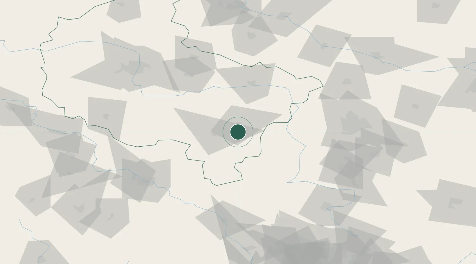
Location
Nearby Logistics Neighbours
Cities
- 1Nowe Skalmierzyce8 km
- 2Ociaz12 km
- 3Zelazków19 km
- 4Plblz25 km
- 5Brzeziny26 km
Airports
- 1Łask Air Base76 km
- 2Powidz Military Air Base79 km
- 3Leźnica Wielka Air Base80 km
- 4Łódź Władysław Reymont Airport90 km
- 5Krzesiny Military Air Base106 km
Trade Zones
DatabookThe Record of Consolidated Knowledge
Poland beyond logistics?