Transport Functions
Port
Rail
Hub Profile
Region
30
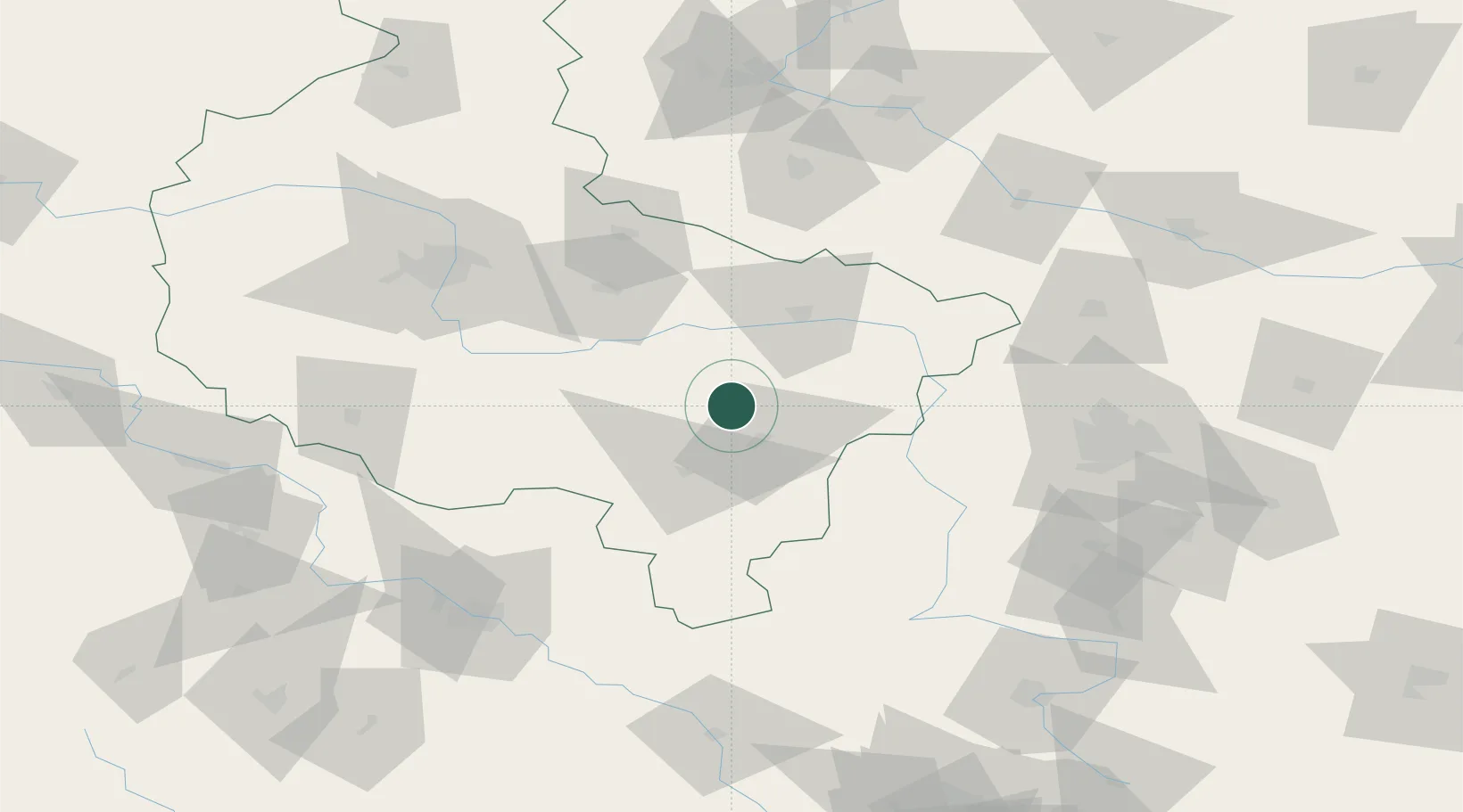
Location
Nearby Logistics Neighbours
Cities
- 1Brzeziny5 km
- 2Zelazków14 km
- 3Rybie19 km
- 4Nowe Skalmierzyce20 km
- 5Ociaz21 km
Airports
- 1Powidz Military Air Base54 km
- 2Leźnica Wielka Air Base79 km
- 3Krzesiny Military Air Base85 km
- 4Łask Air Base90 km
- 5Łódź Władysław Reymont Airport98 km
Trade Zones
- 1Łódź SEZ (ōódzka SSE)103 km
- 2Wałbrzych SEZ INVEST-PARK (Wałbrzyska SSE)168 km
- 3East-West Duty Free Zone172 km
- 4Silesian Center for Logistics180 km
- 5Kamienna Góra185 km
DatabookThe Record of Consolidated Knowledge
Poland beyond logistics?