Transport Functions
Rail
Road
Hub Profile
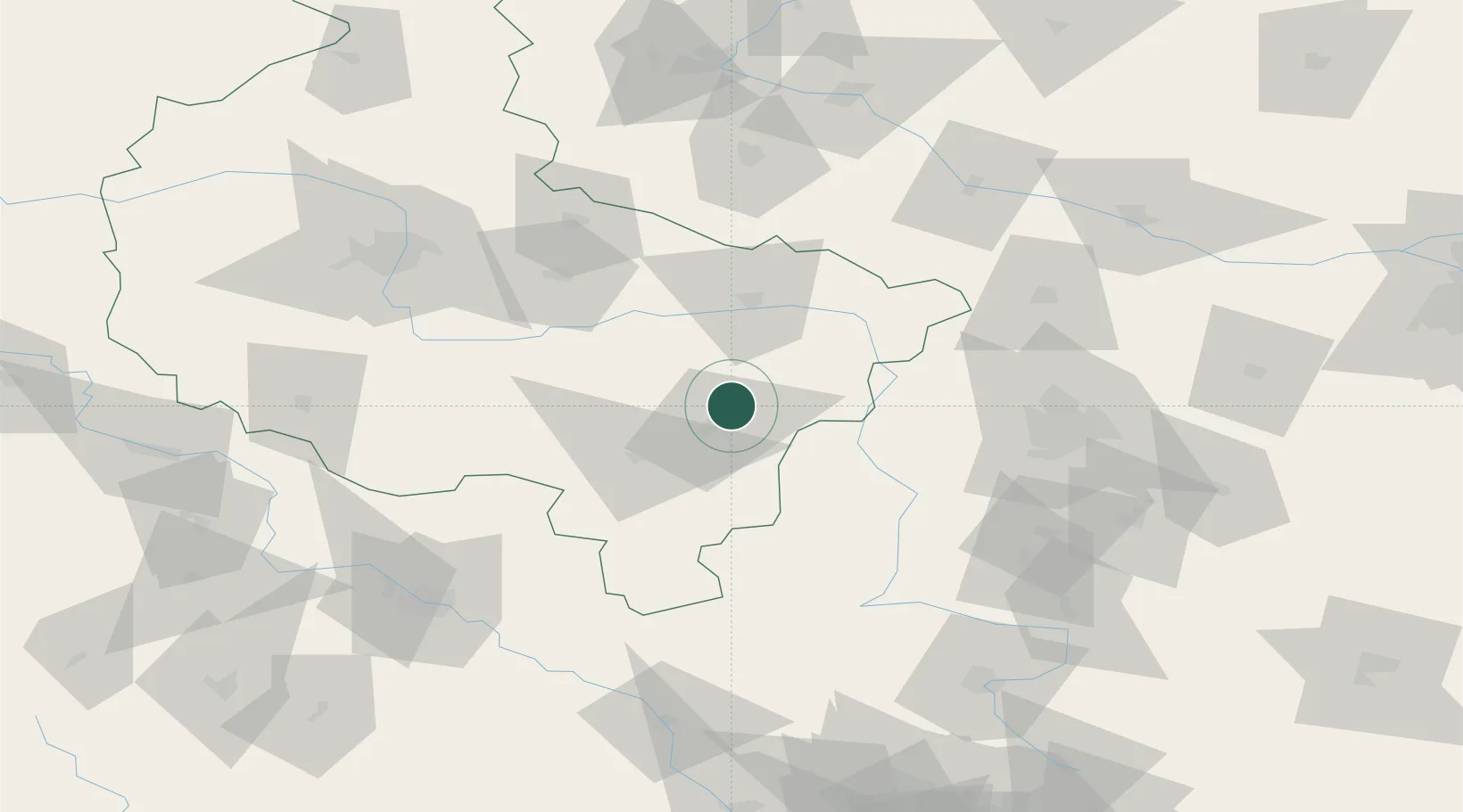
Place type
Populated place
Region
Greater Poland
Population
1,250
Time zone
Europe/Warsaw
Elevation
124 m
Location
Nearby Logistics Neighbours
Cities
- 1Brzeziny11 km
- 2Plblz14 km
- 3Rybie19 km
- 4Zloczew19 km
- 5Nowe Skalmierzyce20 km
Airports
- 1Powidz Military Air Base63 km
- 2Leźnica Wielka Air Base68 km
- 3Łask Air Base76 km
- 4Łódź Władysław Reymont Airport85 km
- 5Krzesiny Military Air Base99 km
Trade Zones
DatabookThe Record of Consolidated Knowledge
Poland beyond logistics?