Transport Functions
Rail
Road
Hub Profile
Place type
District seat
Region
Greater Poland
Population
4,960
Time zone
Europe/Warsaw
Elevation
117 m
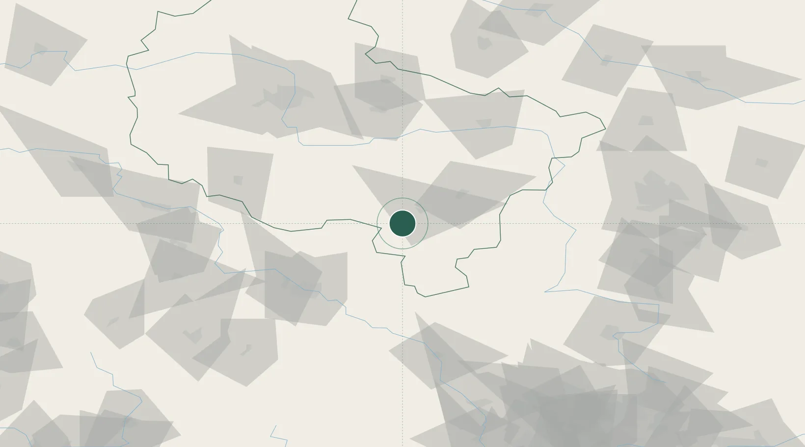
Location
Nearby Logistics Neighbours
Cities
- 1Kobierno22 km
- 2Ociaz23 km
- 3Ostrzeszów24 km
- 4Krotoszyn25 km
- 5Nowe Skalmierzyce27 km
Airports
- 1Copernicus Wrocław Airport77 km
- 2Powidz Military Air Base91 km
- 3Krzesiny Military Air Base99 km
- 4Łask Air Base102 km
- 5Leźnica Wielka Air Base111 km
Trade Zones
- 1Łódź SEZ (ōódzka SSE)124 km
- 2Legnica SEZ (Legnicka SSE)127 km
- 3Wałbrzych SEZ INVEST-PARK (Wałbrzyska SSE)128 km
- 4Kamienna Góra146 km
- 5Silesian Center for Logistics152 km
DatabookThe Record of Consolidated Knowledge
Poland beyond logistics?