Transport Functions
Multimodal
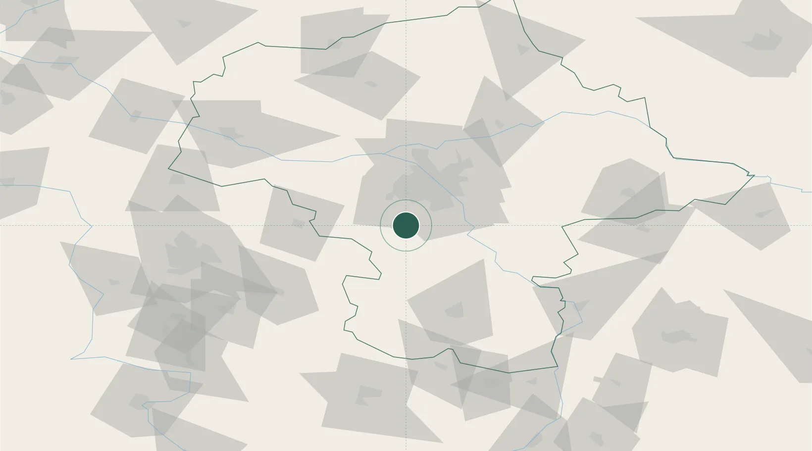
Hub Profile
Place type
District seat
Region
Mazovia
Population
3,904
Time zone
Europe/Warsaw
Elevation
145 m
Location
Nearby Logistics Neighbours
Cities
- 1Wolka Kosowska9 km
- 2Otrebusy13 km
- 3Belsk Duzy15 km
- 4Loziska15 km
- 5Lesznowola15 km
Ports
- 1Gdansk302 km
- 2Baltiysk303 km
- 3Kaliningrad305 km
- 4Nowy Port308 km
- 5Gdynia323 km
Airports
Trade Zones
DatabookThe Record of Consolidated Knowledge
Poland beyond logistics?