Transport Functions
Multimodal
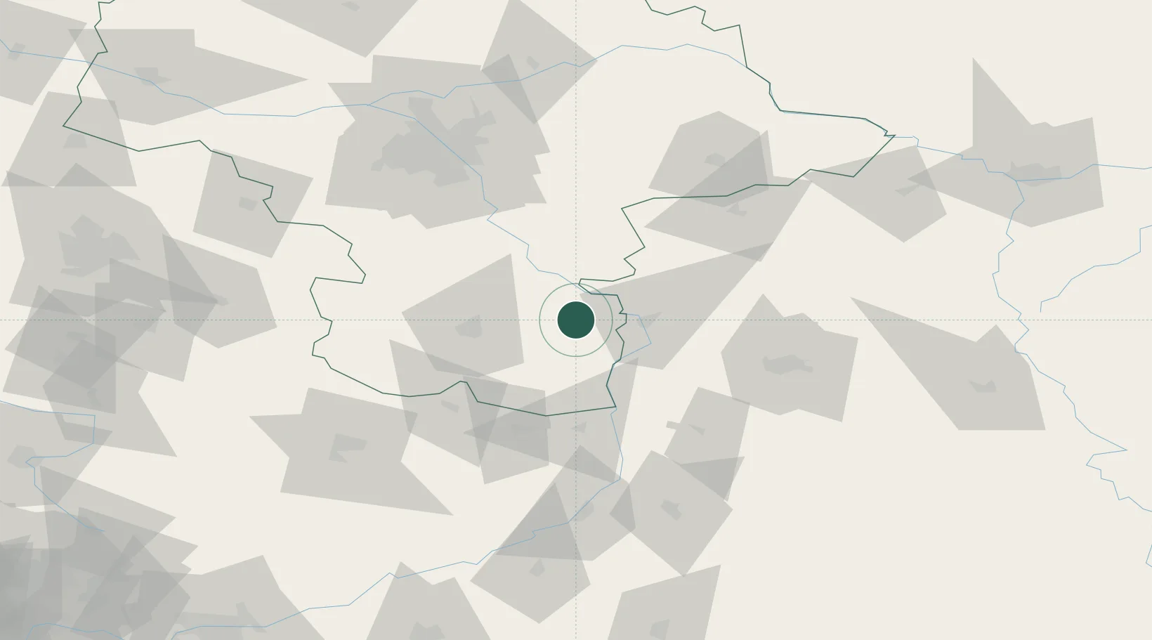
Hub Profile
Place type
District seat
Region
Mazovia
Population
1,500
Time zone
Europe/Warsaw
Elevation
161 m
Location
Nearby Logistics Neighbours
Cities
- 1Garbatka-Letnisko6 km
- 2Janowiec22 km
- 3Pulawy25 km
- 4Skaryszew27 km
- 5Ryki29 km
Ports
- 1Kaliningrad369 km
- 2Baltiysk372 km
- 3Gdansk379 km
- 4Nowy Port385 km
- 5Gdynia400 km
Airports
- 1Deblin Military Air Base21 km
- 2Warsaw Radom Airport30 km
- 3Lublin Airport79 km
- 4Minsk Mazowiecki Military Air Base83 km
- 5Warsaw Chopin Airport92 km
DatabookThe Record of Consolidated Knowledge
Poland beyond logistics?