Transport Functions
Rail
Road
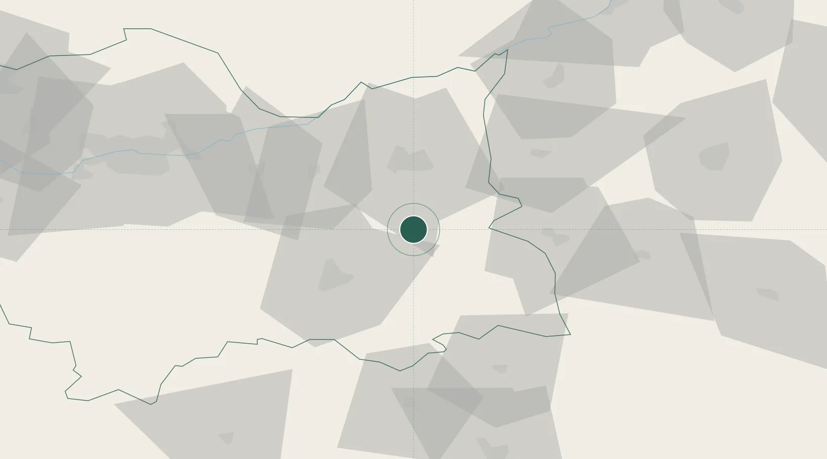
Hub Profile
Place type
District seat
Region
Lesser Poland
Population
2,395
Time zone
Europe/Warsaw
Elevation
280 m
Location
Nearby Logistics Neighbours
Cities
- 1Bobowa10 km
- 2Korzenna14 km
- 3Wojnicz23 km
- 4Zbylitowska Gora23 km
- 5Nowy Sacz25 km
Ports
- 1Gdansk532 km
- 2Nowy Port539 km
- 3Baltiysk544 km
- 4Kaliningrad548 km
- 5Gdynia553 km
Airports
Trade Zones
DatabookThe Record of Consolidated Knowledge
Poland beyond logistics?