Transport Functions
Multimodal
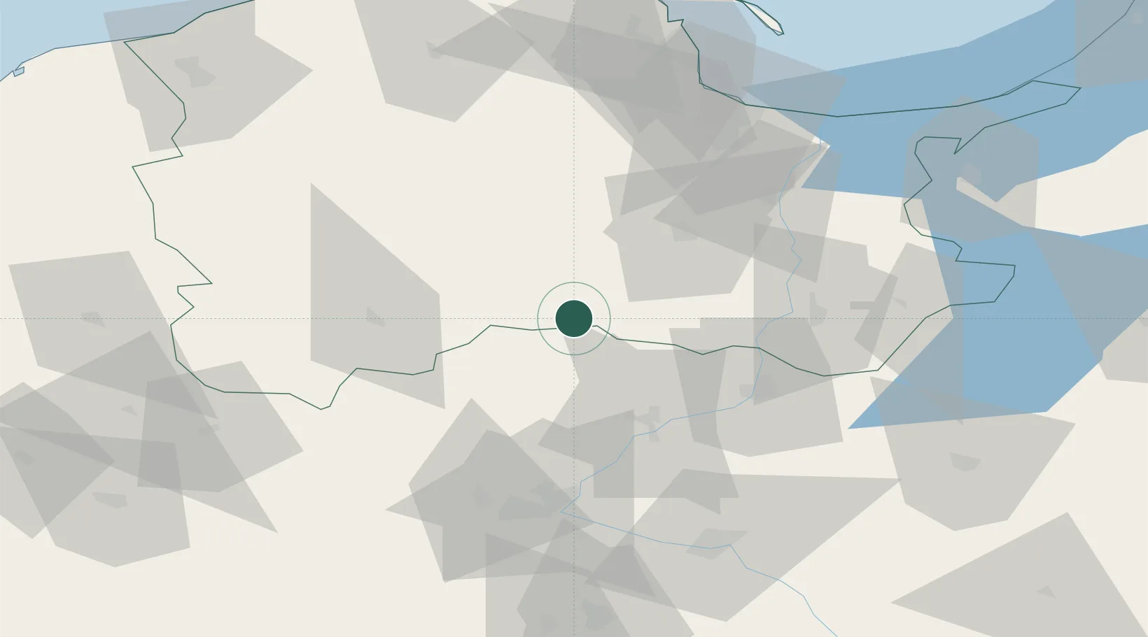
Hub Profile
Place type
District seat
Region
Kujawsko-Pomorskie
Population
4,600
Time zone
Europe/Warsaw
Elevation
113 m
Location
Nearby Logistics Neighbours
Cities
- 1Czersk Pomorski16 km
- 2Rytel27 km
- 3Slupy28 km
- 4Starogard Gdanski36 km
- 5Nowe38 km
Airports
Trade Zones
DatabookThe Record of Consolidated Knowledge
Poland beyond logistics?