UN/LOCODE hub · Poland
PLSTG
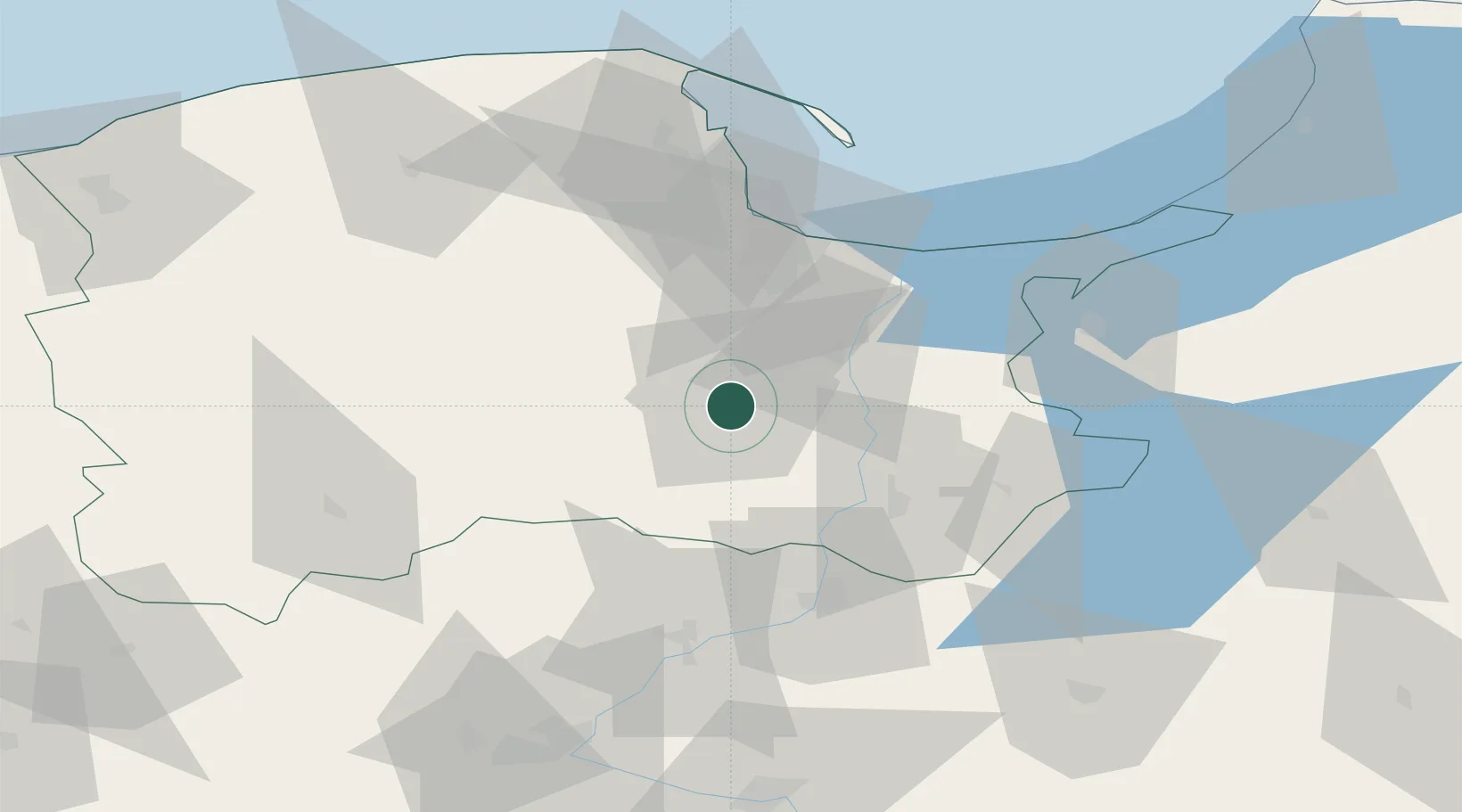
Starogard Gdanski
53.9667°, 18.5333°
47,272
Population
2
Transport functions
Transport Functions
Rail
Road
Hub Profile
Place type
Populated place
Region
Pomerania
Population
47,272
Time zone
Europe/Warsaw
Elevation
90 m
Location
Nearby Logistics Neighbours
Cities
- 1Skarszewy12 km
- 2Legowo29 km
- 3Kolbudy Dolne34 km
- 4Wielki Klincz34 km
- 5Sliwice36 km
Airports
Trade Zones
DatabookThe Record of Consolidated Knowledge
Poland beyond logistics?