Transport Functions
Rail
Road
Hub Profile
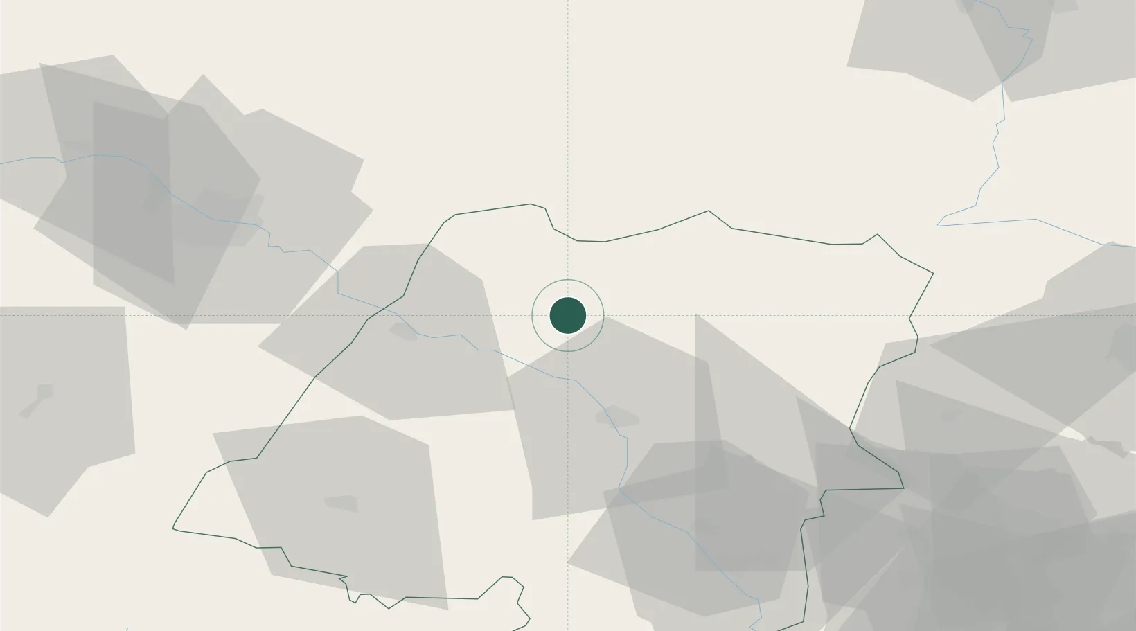
Place type
District seat
Region
Opole Voivodeship
Population
1,400
Time zone
Europe/Warsaw
Elevation
159 m
Location
Nearby Logistics Neighbours
Airports
Trade Zones
DatabookThe Record of Consolidated Knowledge
Poland beyond logistics?