Transport Functions
Road
Multimodal
Hub Profile
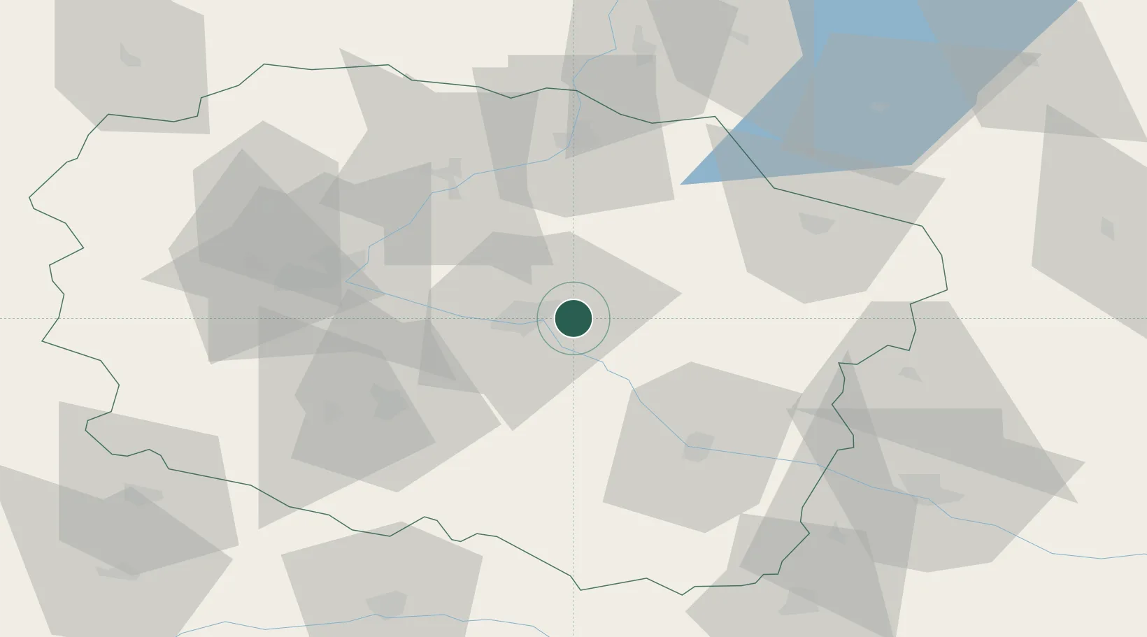
Place type
Populated place
Region
Kujawsko-Pomorskie
Time zone
Europe/Warsaw
Elevation
49 m
Location
Nearby Logistics Neighbours
Cities
- 1Lubicz Dolny1 km
- 2Lysomice12 km
- 3Kowalewo Pomorskie18 km
- 4Cierpice18 km
- 5Golub-Dobrzyn22 km
Airports
Trade Zones
DatabookThe Record of Consolidated Knowledge
Poland beyond logistics?