Transport Functions
Rail
Road
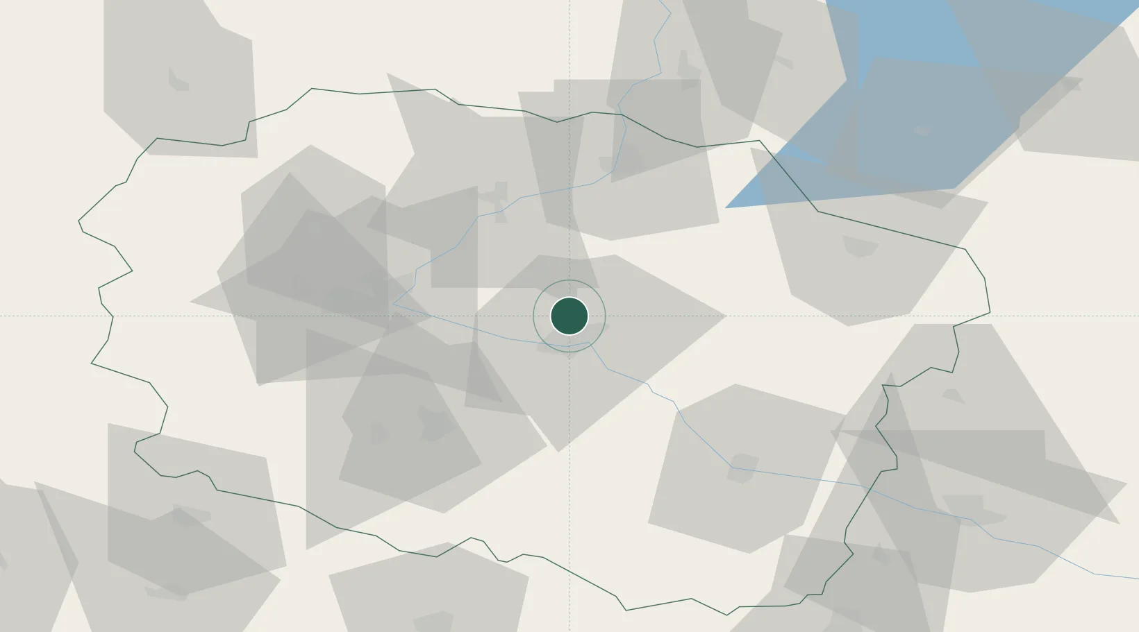
Hub Profile
Place type
District seat
Region
Kujawsko-Pomorskie
Population
1,100
Time zone
Europe/Warsaw
Elevation
80 m
Location
Nearby Logistics Neighbours
Cities
- 1Lubicz Dolny11 km
- 2Lubicz12 km
- 3Cierpice14 km
- 4Rzeczkowo18 km
- 5Kowalewo Pomorskie20 km
Airports
Trade Zones
DatabookThe Record of Consolidated Knowledge
Poland beyond logistics?