Transport Functions
Rail
Road
Hub Profile
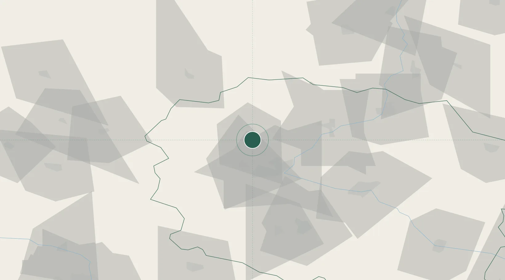
Place type
Populated place
Region
Kujawsko-Pomorskie
Population
10,965
Time zone
Europe/Warsaw
Elevation
65 m
Location
Nearby Logistics Neighbours
Cities
- 1Bydgoszcz19 km
- 2Biale Blota24 km
- 3Ostromecko26 km
- 4Slupy33 km
- 5Rzeczkowo34 km
Airports
Trade Zones
- 1Pomeranian SEZ (Pomorska SSE)110 km
- 2Gdansk Port Duty Free Zone130 km
- 3Słupsk SEZ (Słupska SSE)141 km
- 4Łódź SEZ (ōódzka SSE)202 km
- 5Szczecin Duty Free Zone224 km
DatabookThe Record of Consolidated Knowledge
Poland beyond logistics?