Transport Functions
Rail
Road
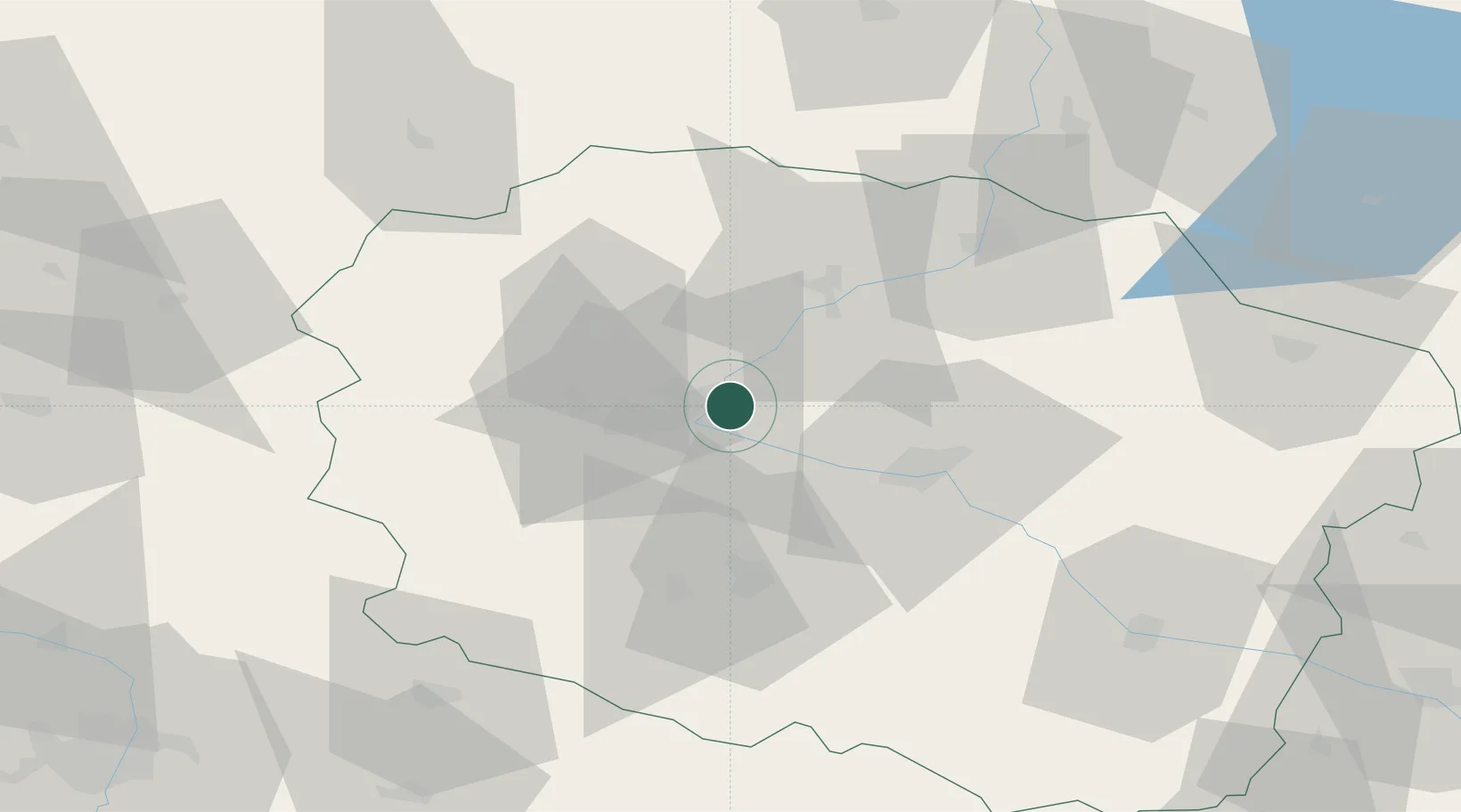
Hub Profile
Place type
Populated place
Region
Kujawsko-Pomorskie
Time zone
Europe/Warsaw
Elevation
62 m
Location
Nearby Logistics Neighbours
Cities
- 1Rzeczkowo10 km
- 2Bydgoszcz14 km
- 3Biale Blota20 km
- 4Nowa Wies Wielka22 km
- 5Koronowo26 km
Airports
Trade Zones
DatabookThe Record of Consolidated Knowledge
Poland beyond logistics?