Transport Functions
Port
Rail
Road
Airport
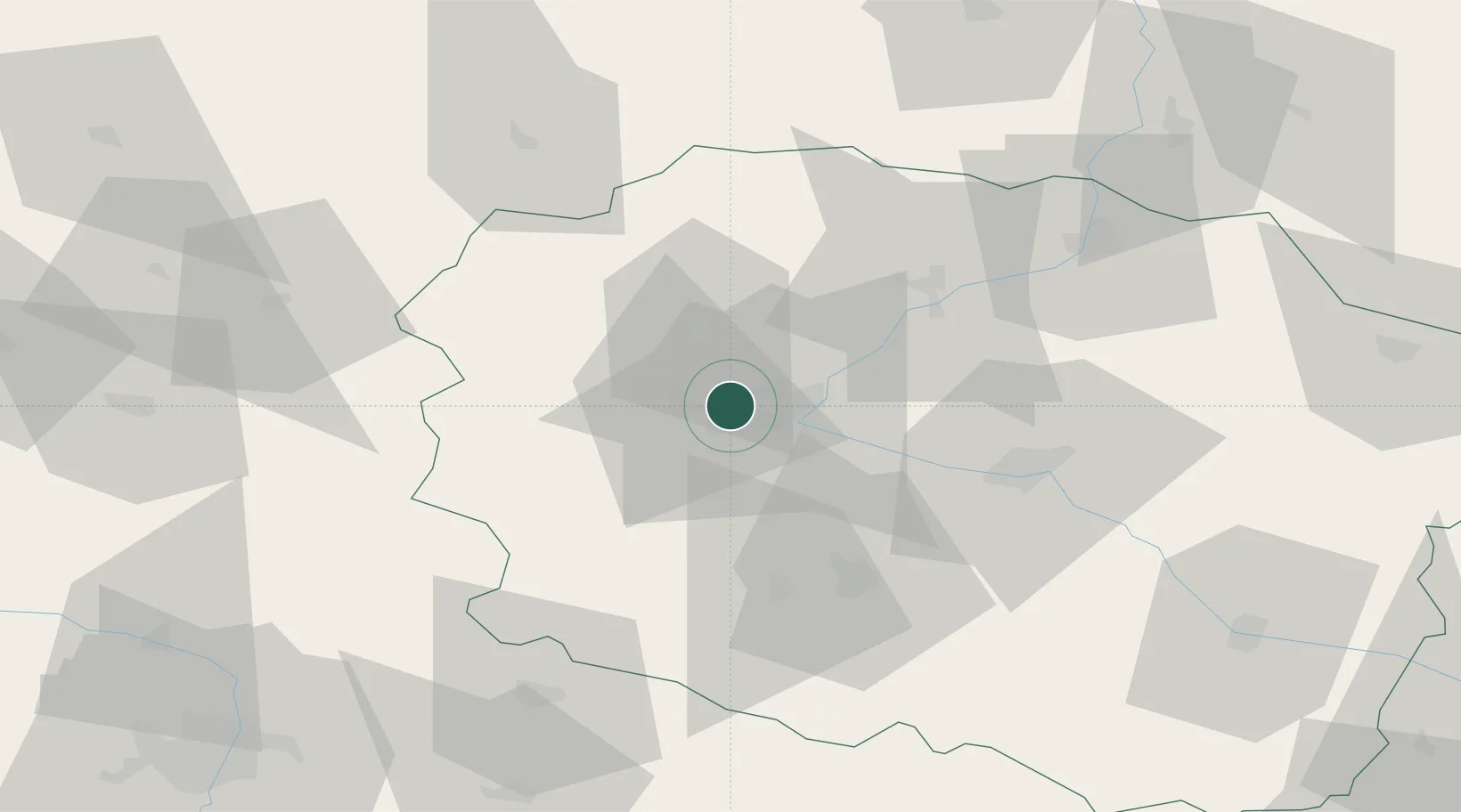
Hub Profile
Place type
Regional capital
Region
Kujawsko-Pomorskie
Population
330,038
Time zone
Europe/Warsaw
Elevation
37 m
Location
Nearby Logistics Neighbours
Cities
- 1Biale Blota7 km
- 2Ostromecko14 km
- 3Koronowo19 km
- 4Nowa Wies Wielka21 km
- 5Labiszyn23 km
Airports
Trade Zones
DatabookThe Record of Consolidated Knowledge
Poland beyond logistics?