Transport Functions
Rail
Road
Hub Profile
Place type
Populated place
Region
Kujawsko-Pomorskie
Population
5,989
Time zone
Europe/Warsaw
Elevation
70 m
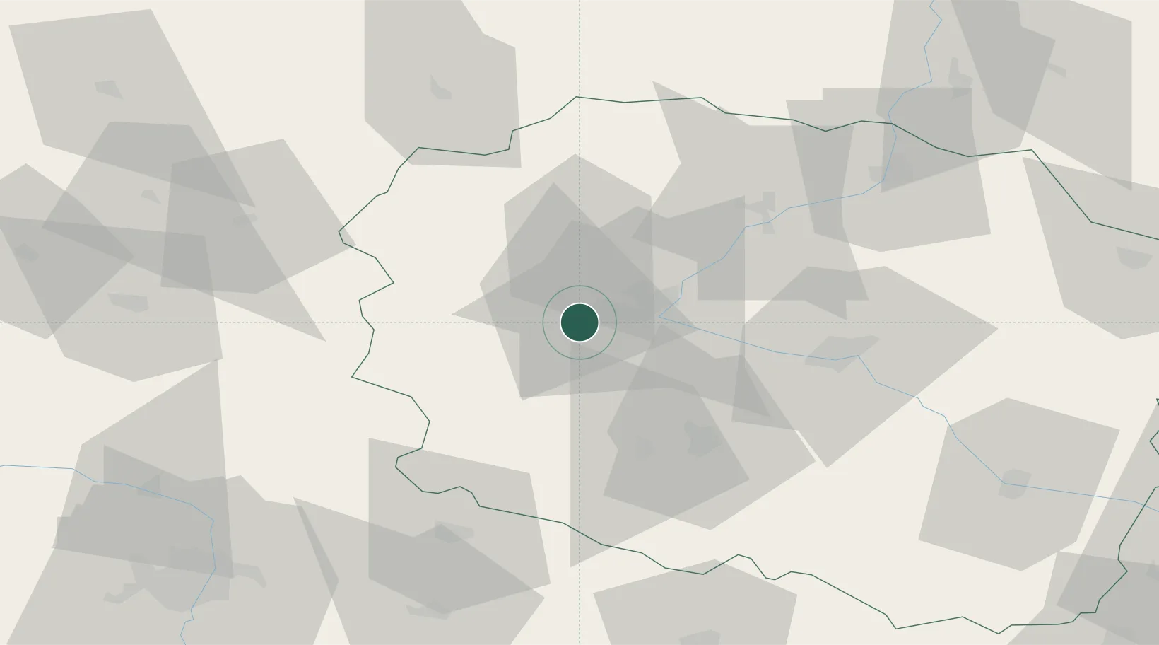
Location
Nearby Logistics Neighbours
Cities
- 1Bydgoszcz7 km
- 2Labiszyn17 km
- 3Nowa Wies Wielka18 km
- 4Ostromecko20 km
- 5Koronowo24 km
Airports
Trade Zones
- 1Pomeranian SEZ (Pomorska SSE)134 km
- 2Gdansk Port Duty Free Zone153 km
- 3Słupsk SEZ (Słupska SSE)163 km
- 4Łódź SEZ (ōódzka SSE)183 km
- 5Szczecin Duty Free Zone226 km
DatabookThe Record of Consolidated Knowledge
Poland beyond logistics?