Transport Functions
Rail
Road
Hub Profile
Place type
Populated place
Region
Kujawsko-Pomorskie
Time zone
Europe/Warsaw
Elevation
71 m
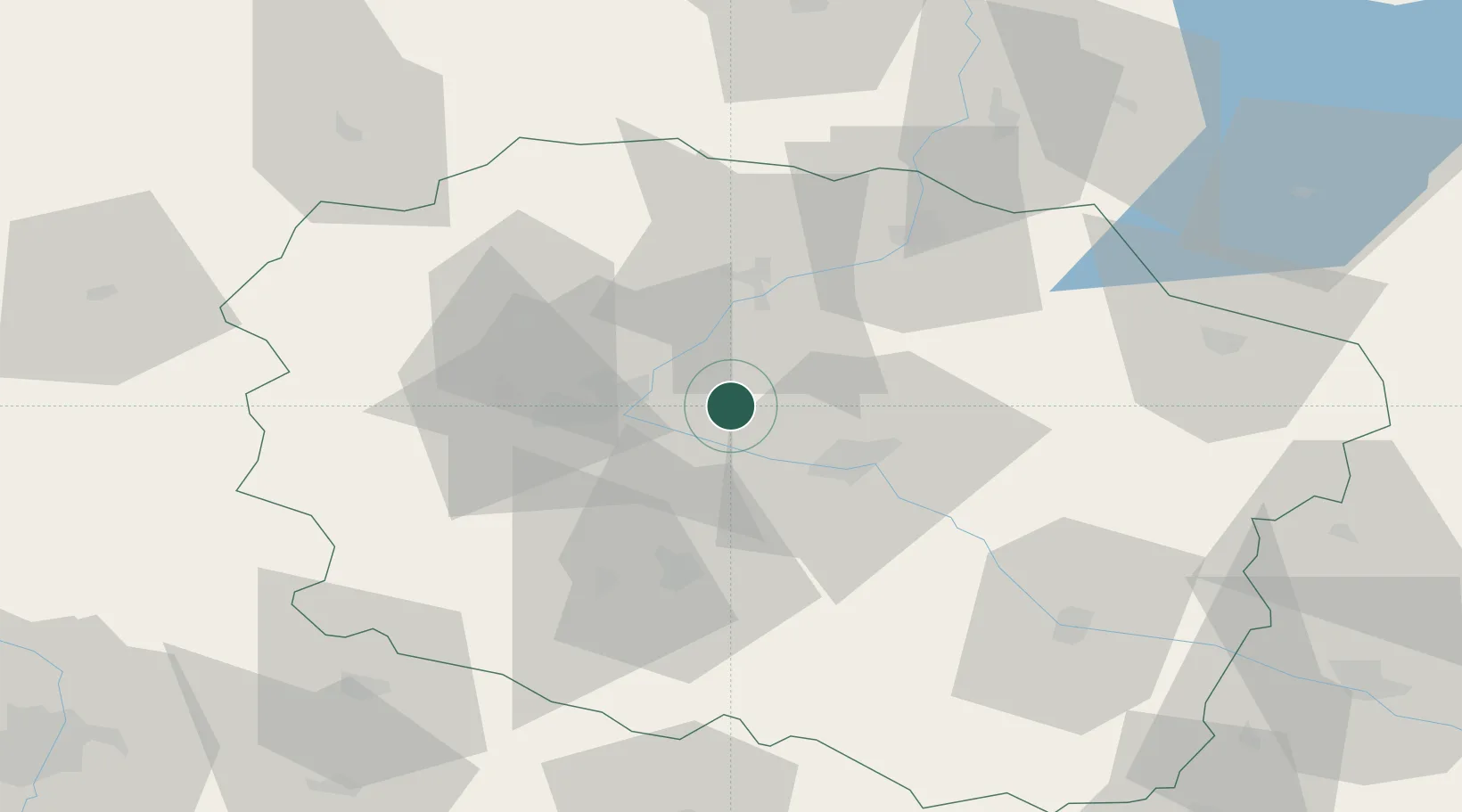
Location
Nearby Logistics Neighbours
Cities
- 1Ostromecko10 km
- 2Lysomice18 km
- 3Cierpice18 km
- 4Bydgoszcz25 km
- 5Nowa Wies Wielka27 km
Airports
Trade Zones
DatabookThe Record of Consolidated Knowledge
Poland beyond logistics?