Transport Functions
Rail
Road
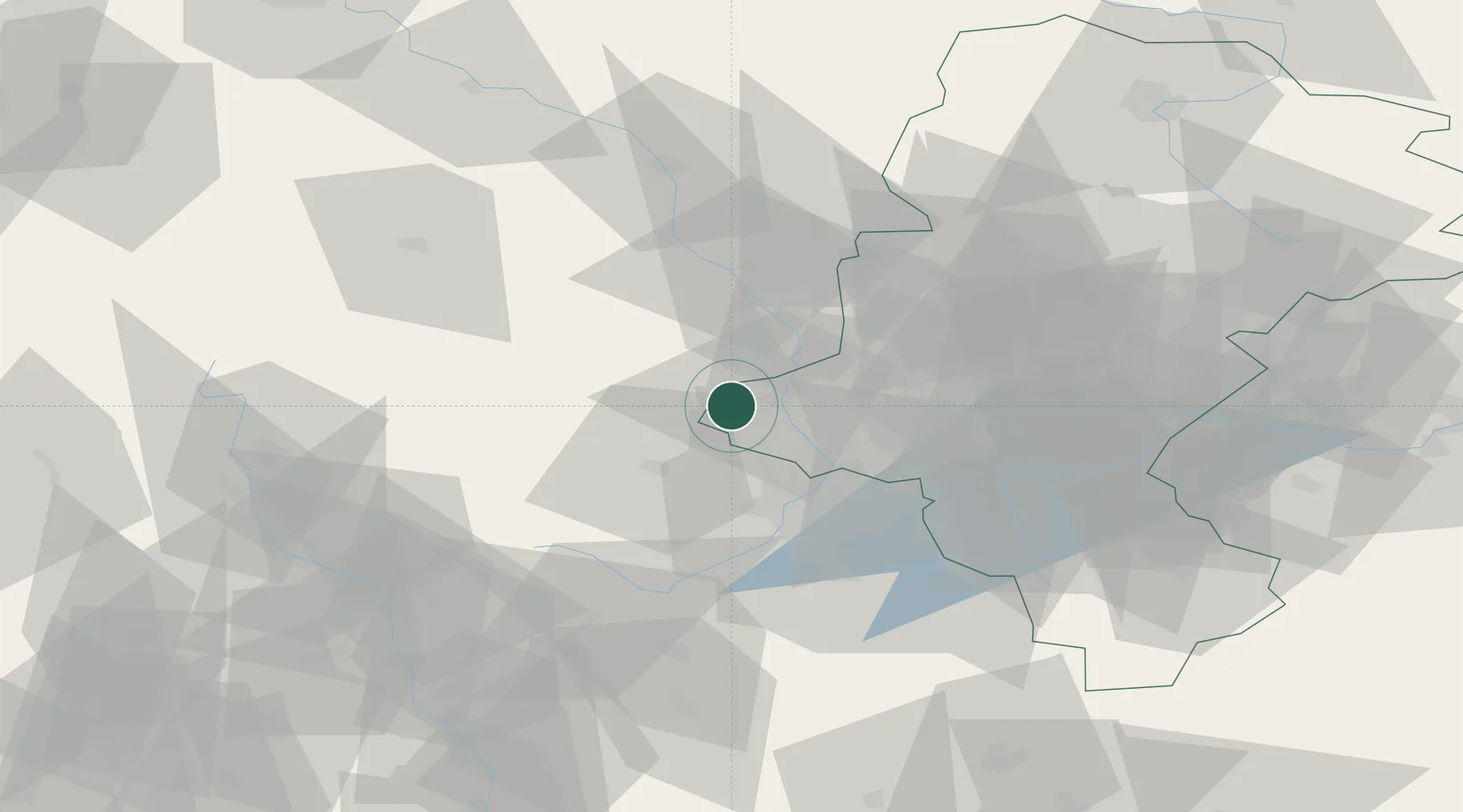
Hub Profile
Place type
Populated place
Region
Silesia
Time zone
Europe/Warsaw
Elevation
230 m
Location
Nearby Logistics Neighbours
Cities
- 1Chuchelna11 km
- 2Koberice12 km
- 3Vresina17 km
- 4Kornowac17 km
- 5Kravare ve Slezsku18 km
Airports
Trade Zones
DatabookThe Record of Consolidated Knowledge
Poland beyond logistics?