Transport Functions
Multimodal
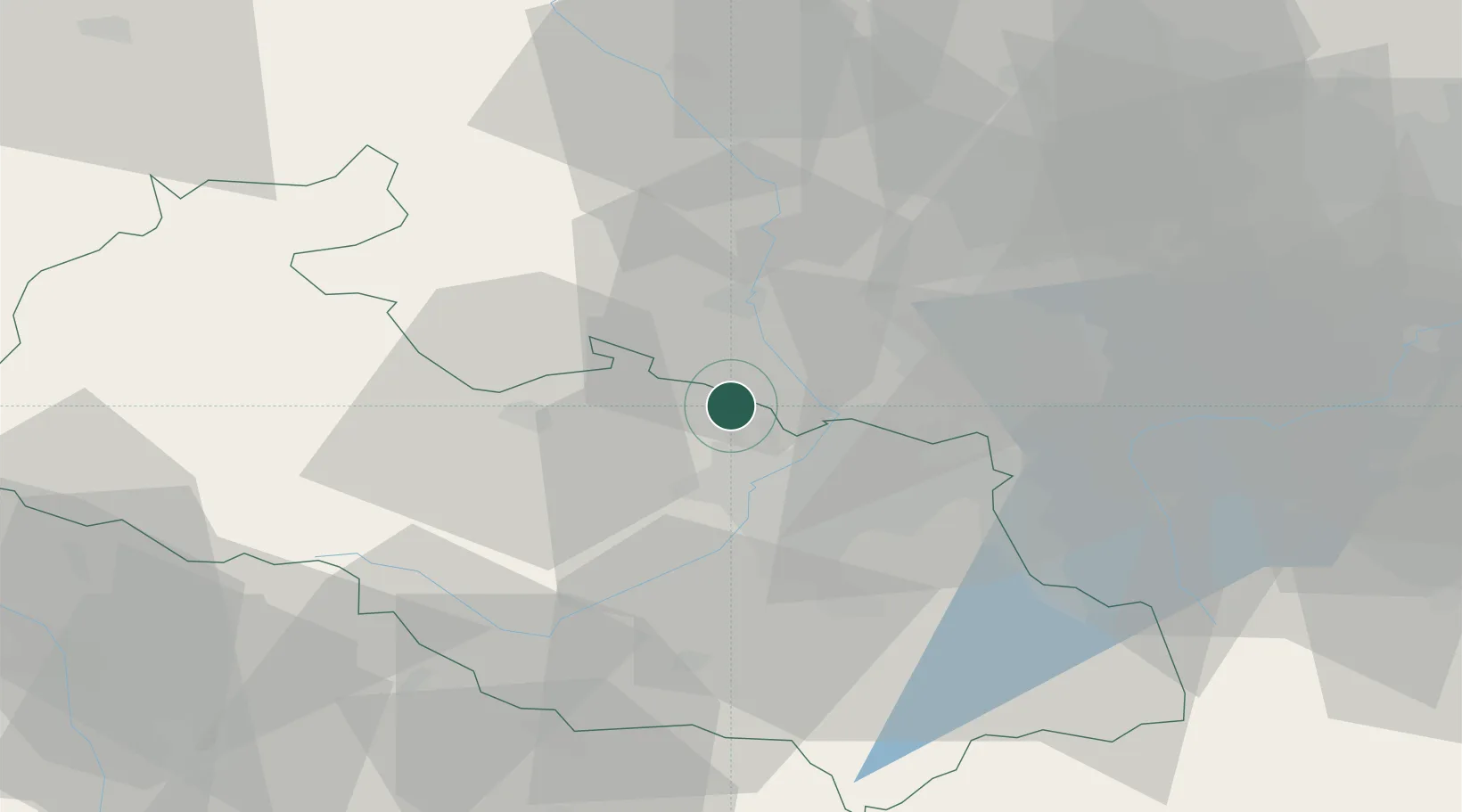
Hub Profile
Place type
Populated place
Region
Moravskoslezský
Population
1,334
Time zone
Europe/Prague
Elevation
244 m
Location
Nearby Logistics Neighbours
Cities
- 1Chuchelna7 km
- 2Dolní Benesov7 km
- 3Koberice11 km
- 4Velka Polom12 km
- 5Kravare ve Slezsku13 km
Airports
Trade Zones
DatabookThe Record of Consolidated Knowledge
Czechia beyond logistics?