About
Methodology
Sources
Licensing
English
EN
English
TR
Türkçe
DE
Deutsch
FR
Français
ES
Español
IT
Italiano
PT
Português
NL
Nederlands
PL
Polski
RU
Русский
UK
Українська
CS
Čeština
RO
Română
EL
Ελληνικά
BG
Български
AR
العربية
FA
فارسی
UR
اردو
HI
हिन्दी
BN
বাংলা
ID
Bahasa Indonesia
VI
Tiếng Việt
ZH
中文
JA
日本語
KO
한국어
logibook
/
Countries
/
Poland
/
Locations
/
Jaworzno
UN/LOCODE hub ·
Poland
PL
JWO
Jaworzno
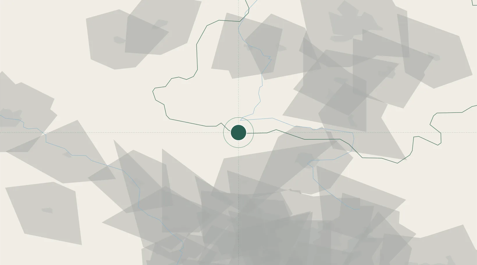
51.0167°, 18.6500°
2
Transport functions
Transport Functions
Rail
Road
UN/LOCODE
Hub Profile
Place type
Populated place
GeoNames
Region
Opole Voivodeship
GeoNames
Time zone
Europe/Warsaw
GeoNames
Elevation
231 m
GeoNames
Location
Natural Earth 10m (public domain) · Opole Voivodeship · PLJWO · 51.02, 18.65
Google ↗
OSM ↗
Yandex ↗
Nearby Logistics Neighbours
Cities
1
Olesno
22 km
2
Wierzchlas
22 km
3
Klobuck
24 km
4
Walichnowy
37 km
5
Jedlno
43 km
Nearest neighbours — logibook spatial index (haversine) over the source coordinates
Ports
1
Gdansk
371 km
2
Nowy Port
378 km
3
Szczecin
386 km
4
Gdynia
391 km
5
Police
397 km
Nearest neighbours — logibook spatial index (haversine) over the source coordinates
Airports
1
Katowice Wojciech Korfanty International Airport
67 km
2
Łask Air Base
70 km
3
Łódź Władysław Reymont Airport
94 km
4
Leźnica Wielka Air Base
115 km
5
Tomaszów Mazowiecki Military Air Base
119 km
Nearest neighbours — logibook spatial index (haversine) over the source coordinates
Trade Zones
1
Silesian Center for Logistics
76 km
2
Katowice SEZ (Katowicka SSE)
91 km
3
Łódź SEZ (ōódzka SSE)
100 km
4
Krnov - Červený Dvůr Municipal Industrial Zone
124 km
5
Karvinská Specialized Economic Zone
128 km
Nearest neighbours — logibook spatial index (haversine) over the source coordinates
Data
book
The Record of Consolidated Knowledge
Poland beyond logistics?
Browse databook
→
All Sources
Locations
UN/LOCODE
UN/LOCODE — free
↗
Ports
the NGA World Port Index
Public domain (US gov)
↗
Airports
OurAirports
Public domain
↗
Trade Zones
the World Bank SEZ database
CC BY 4.0
↗
Trade Zones
Open Zone Map
CC BY
↗
← Poland locations