Transport Functions
Rail
Road
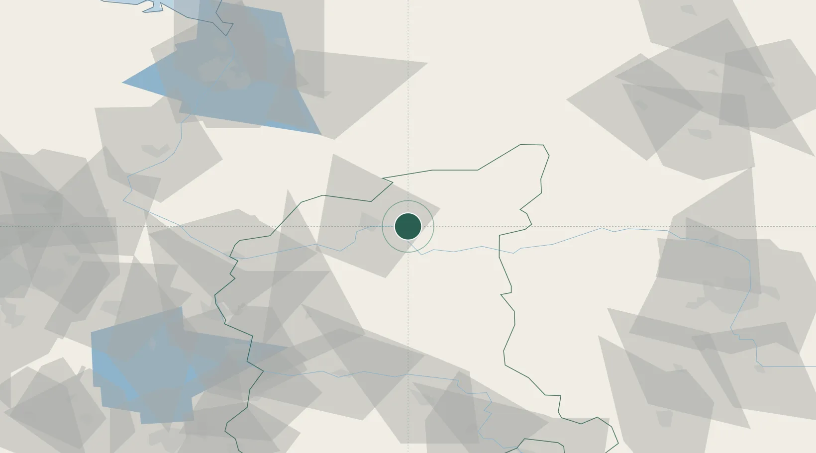
Hub Profile
Place type
District seat
Region
Lubusz
Population
780
Time zone
Europe/Warsaw
Elevation
22 m
Location
Nearby Logistics Neighbours
Cities
- 1Gorzów Wielkopolski12 km
- 2Drezdenko-Chyze30 km
- 3Miedzychód35 km
- 4Lipiany42 km
- 5Lowyn43 km
Ports
- 1Szczecin96 km
- 2Police109 km
- 3Swinoujscie152 km
- 4Kolobrzeg165 km
- 5Wolgast182 km
Airports
Trade Zones
- 1Kostrzyń-Słubice SEZ55 km
- 2Szczecin Duty Free Zone95 km
- 3Swinoujscie Duty Free Zone150 km
- 4Legnica SEZ (Legnicka SSE)165 km
- 5Słupsk SEZ (Słupska SSE)220 km
DatabookThe Record of Consolidated Knowledge
Poland beyond logistics?