Transport Functions
Multimodal
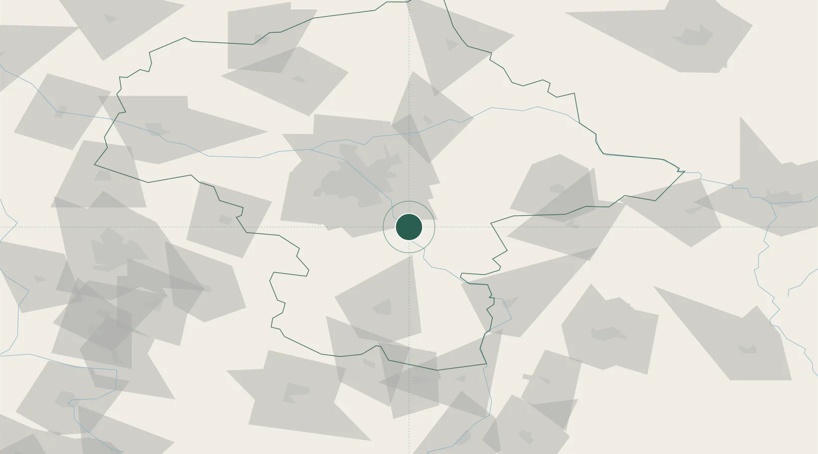
Hub Profile
Place type
District seat
Region
Mazovia
Population
700
Time zone
Europe/Warsaw
Elevation
97 m
Location
Nearby Logistics Neighbours
Cities
- 1Góra Kalwaria8 km
- 2Pilawa15 km
- 3Baniocha17 km
- 4Karczew17 km
- 5Otwock19 km
Ports
- 1Kaliningrad313 km
- 2Baltiysk315 km
- 3Gdansk322 km
- 4Nowy Port328 km
- 5Gdynia343 km
Airports
- 1Warsaw Chopin Airport35 km
- 2Minsk Mazowiecki Military Air Base37 km
- 3Deblin Military Air Base58 km
- 4Warsaw Radom Airport61 km
- 5Warsaw Modlin Airport73 km
Trade Zones
DatabookThe Record of Consolidated Knowledge
Poland beyond logistics?