Transport Functions
Multimodal
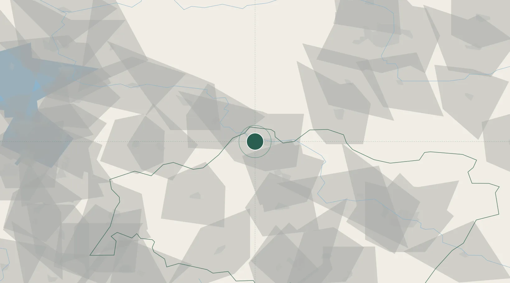
Hub Profile
Place type
Populated place
Region
Lower Silesia
Population
910
Time zone
Europe/Warsaw
Elevation
89 m
Location
Nearby Logistics Neighbours
Ports
- 1Szczecin217 km
- 2Police232 km
- 3Swinoujscie276 km
- 4Kolobrzeg285 km
- 5Wolgast303 km
Airports
Trade Zones
DatabookThe Record of Consolidated Knowledge
Poland beyond logistics?