Transport Functions
Rail
Road
Hub Profile
Region
22
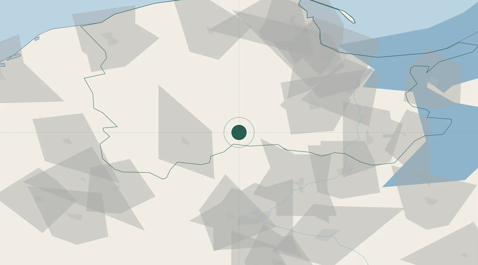
Location
Nearby Logistics Neighbours
Cities
- 1Rytel13 km
- 2Sliwice16 km
- 3Slupy23 km
- 4Charzykowy30 km
- 5Wielki Klincz36 km
Airports
Trade Zones
- 1Pomeranian SEZ (Pomorska SSE)58 km
- 2Gdansk Port Duty Free Zone82 km
- 3Słupsk SEZ (Słupska SSE)97 km
- 4Szczecin Duty Free Zone228 km
- 5Swinoujscie Duty Free Zone243 km
DatabookThe Record of Consolidated Knowledge
Poland beyond logistics?