UN/LOCODE hub · Norway
NOORS

Ørsta

62.1833°, 6.0833°
1
Transport functions

Transport Functions

Port
Ørsta is also a profiled seaport →
UN/LOCODE

Hub Profile

Region
15
GeoNames

Location

Location of NOORS
Natural Earth 10m (public domain) · 15 · NOORS · 62.18, 6.08GoogleOSMYandex

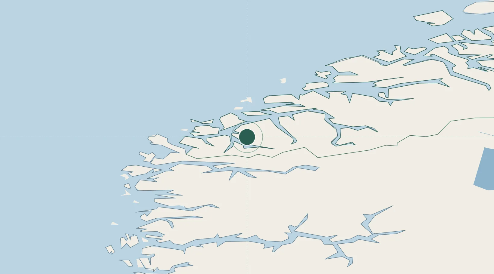
Nearby Logistics Neighbours

Cities
  1. 1Voldafjorden2 km
  2. 2Volda6 km
  3. 3Vartdal13 km
  4. 4Rovde17 km
  5. 5Hjørungavåg19 km
Nearest neighbours — logibook spatial index (haversine) over the source coordinates
Ports
  1. 1Hareid21 km
  2. 2Moldtustranda26 km
  3. 3Alesund32 km
  4. 4Maloy58 km
  5. 5Molde83 km
Nearest neighbours — logibook spatial index (haversine) over the source coordinates
Airports
  1. 1Ørsta-Volda Airport, Hovden1 km
  2. 2Sandane Airport, Anda39 km
  3. 3Ålesund Airport42 km
  4. 4Florø Airport87 km
  5. 5Molde Airport, Årø87 km
Nearest neighbours — logibook spatial index (haversine) over the source coordinates
Trade Zones
  1. 1Gothenburg Boundless Customs Warehouse591 km
  2. 2Jönköping Free Zone662 km
  3. 3Freeport of Copenhagen- Nordhavn810 km
  4. 4MTS Malmö Transport and Spedition834 km
  5. 5Freeport of Kiel905 km
Nearest neighbours — logibook spatial index (haversine) over the source coordinates
DatabookThe Record of Consolidated Knowledge
Norway beyond logistics?
Browse databook

All Sources

LocationsUN/LOCODE
UN/LOCODE — free
Portsthe NGA World Port Index
Public domain (US gov)
AirportsOurAirports
Public domain
Trade Zonesthe World Bank SEZ database
CC BY 4.0
Trade ZonesOpen Zone Map
CC BY
← Norway locations