Transport Functions
Port
Hub Profile
Place type
Populated place
Region
Møre og Romsdal
Time zone
Europe/Oslo
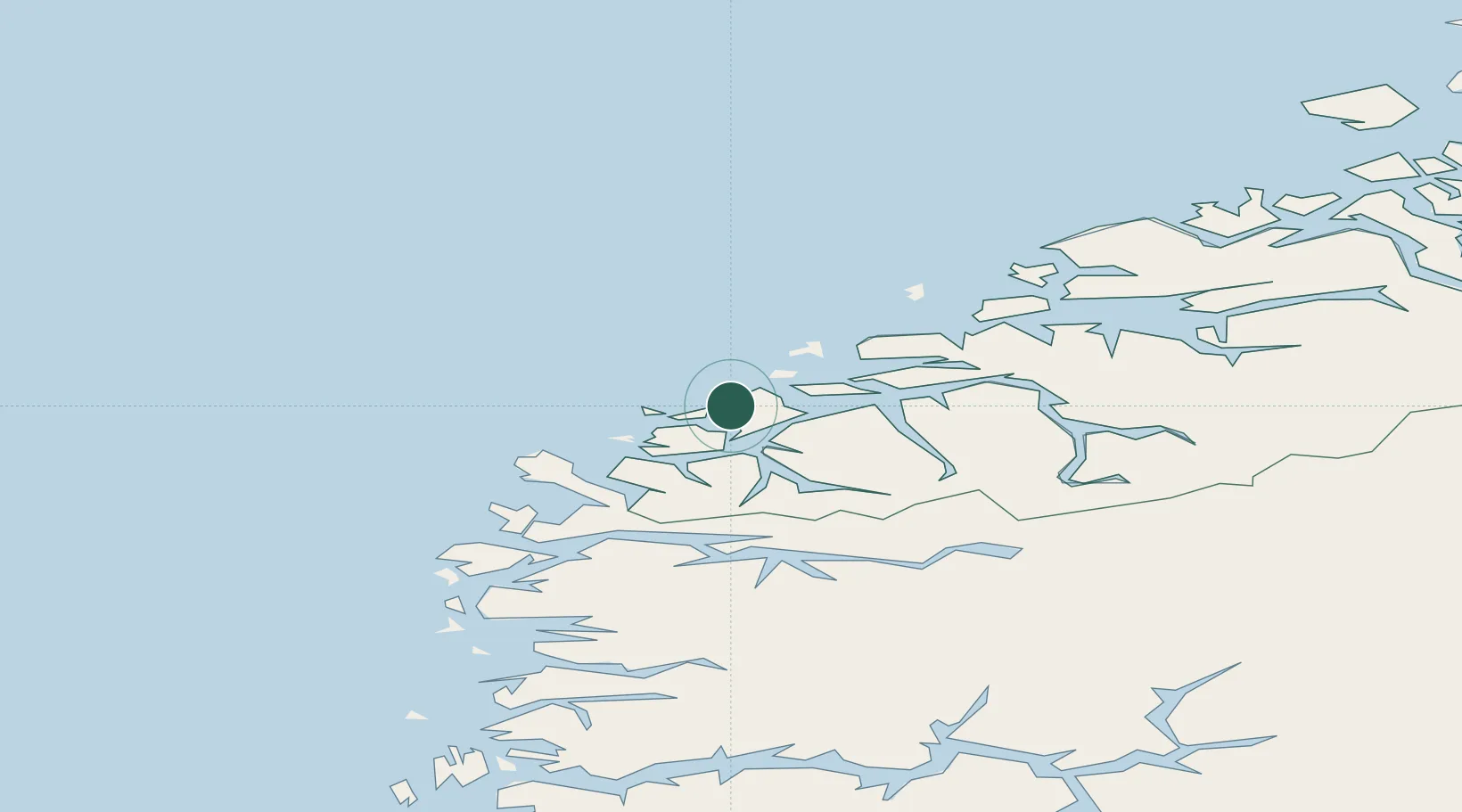
Location
Nearby Logistics Neighbours
Cities
- 1Ulsteinvik4 km
- 2Torvika6 km
- 3Runde9 km
- 4Mjølstadneset10 km
- 5Fosnavåg10 km
Ports
- 1Hareid11 km
- 2Moldtustranda11 km
- 3Alesund21 km
- 4Orstav24 km
- 5Maloy60 km
Airports
- 1Ørsta-Volda Airport, Hovden25 km
- 2Ålesund Airport26 km
- 3Sandane Airport, Anda62 km
- 4Molde Airport, Årø85 km
- 5Florø Airport96 km
Trade Zones
DatabookThe Record of Consolidated Knowledge
Norway beyond logistics?