Transport Functions
Port
Road
Hub Profile
Place type
Provincial seat
Region
Møre og Romsdal
Time zone
Europe/Oslo
Elevation
1 m
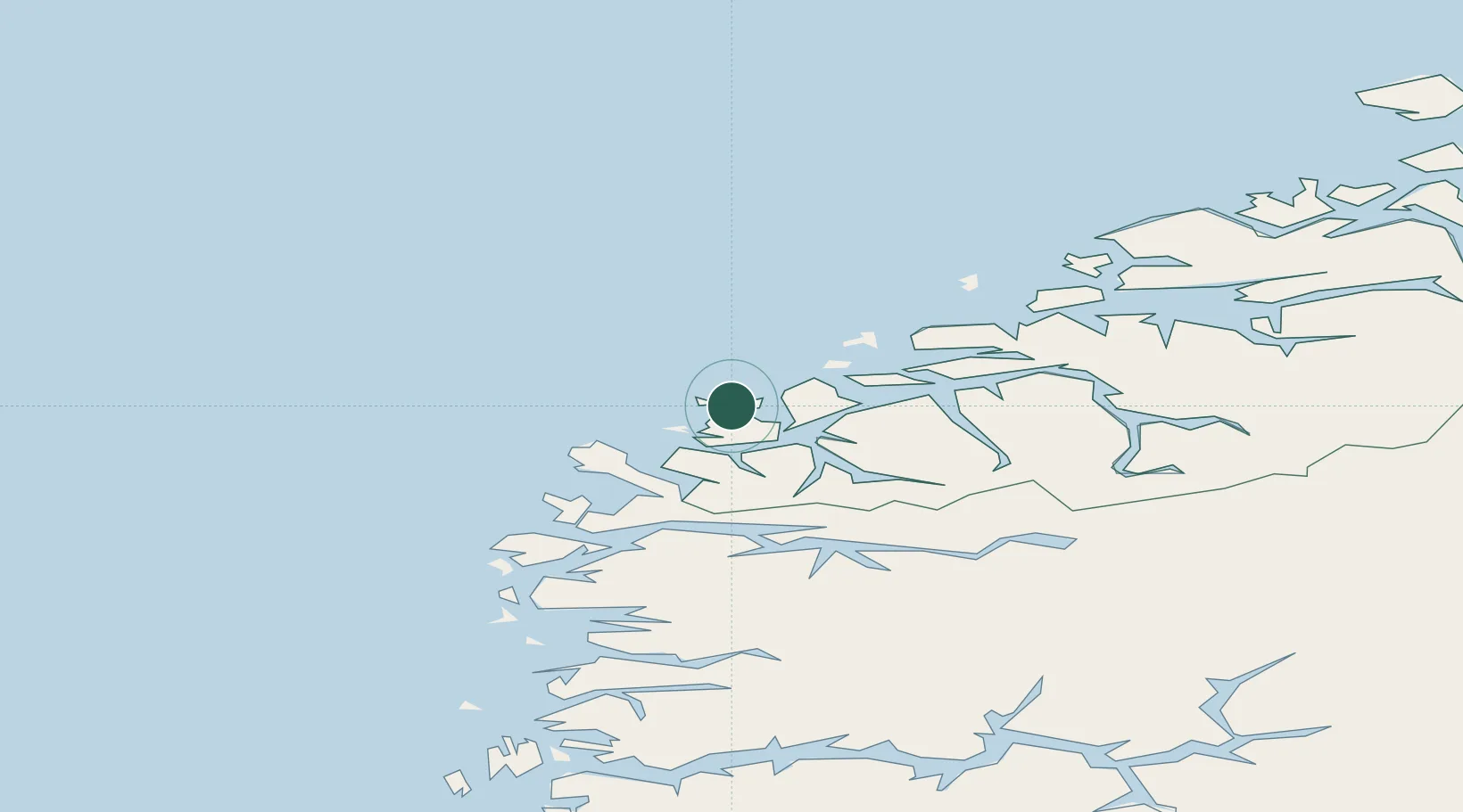
Location
Nearby Logistics Neighbours
Cities
- 1Eggesbønes2 km
- 2Mjølstadneset3 km
- 3Torvika5 km
- 4Moldtustranda6 km
- 5Tjørvåg8 km
Ports
- 1Moldtustranda4 km
- 2Hareid21 km
- 3Orstav29 km
- 4Alesund31 km
- 5Maloy52 km
Airports
- 1Ørsta-Volda Airport, Hovden29 km
- 2Ålesund Airport35 km
- 3Sandane Airport, Anda61 km
- 4Florø Airport89 km
- 5Molde Airport, Årø95 km
Trade Zones
DatabookThe Record of Consolidated Knowledge
Norway beyond logistics?