UN/LOCODE hub · Norway
NOULS

Ulsteinvik

62.3333°, 5.8333°
5,788
Population
2
Transport functions

Transport Functions

Port
Road
UN/LOCODE

Hub Profile

Place type
Provincial seat
GeoNames
Region
Møre og Romsdal
GeoNames
Population
5,788
GeoNames
Time zone
Europe/Oslo
GeoNames
Elevation
60 m
GeoNames

Location

Location of NOULS
Natural Earth 10m (public domain) · Møre og Romsdal · NOULS · 62.33, 5.83GoogleOSMYandex

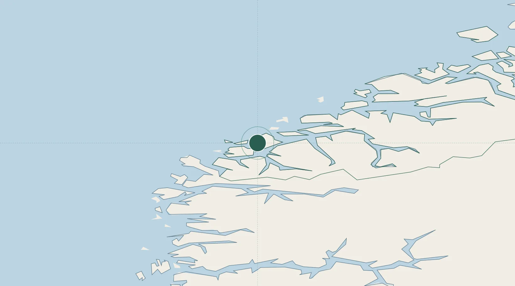
Nearby Logistics Neighbours

Cities
  1. 1Ulstein4 km
  2. 2Torvika5 km
  3. 3Tjørvåg8 km
  4. 4Mjølstadneset9 km
  5. 5Fosnavåg10 km
Nearest neighbours — logibook spatial index (haversine) over the source coordinates
Ports
  1. 1Moldtustranda10 km
  2. 2Hareid11 km
  3. 3Orstav21 km
  4. 4Alesund23 km
  5. 5Maloy58 km
Nearest neighbours — logibook spatial index (haversine) over the source coordinates
Airports
  1. 1Ørsta-Volda Airport, Hovden21 km
  2. 2Ålesund Airport29 km
  3. 3Sandane Airport, Anda58 km
  4. 4Molde Airport, Årø86 km
  5. 5Florø Airport94 km
Nearest neighbours — logibook spatial index (haversine) over the source coordinates
Trade Zones
  1. 1Gothenburg Boundless Customs Warehouse612 km
  2. 2Jönköping Free Zone683 km
  3. 3Freeport of Copenhagen- Nordhavn831 km
  4. 4MTS Malmö Transport and Spedition855 km
  5. 5Freeport of Kiel924 km
Nearest neighbours — logibook spatial index (haversine) over the source coordinates
DatabookThe Record of Consolidated Knowledge
Norway beyond logistics?
Browse databook

All Sources

LocationsUN/LOCODE
UN/LOCODE — free
LocationsGeoNames
CC BY 4.0
Portsthe NGA World Port Index
Public domain (US gov)
AirportsOurAirports
Public domain
Trade Zonesthe World Bank SEZ database
CC BY 4.0
Trade ZonesOpen Zone Map
CC BY
← Norway locations