Transport Functions
Port
Hub Profile
Place type
Populated place
Region
Møre og Romsdal
Time zone
Europe/Oslo
Elevation
3 m
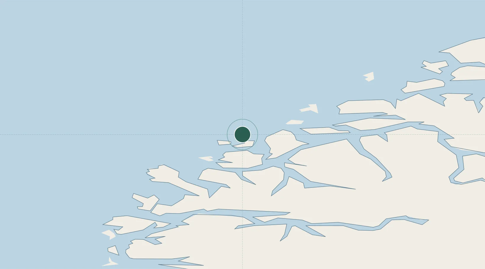
Location
Nearby Logistics Neighbours
Cities
- 1Fosnavåg8 km
- 2Torvika8 km
- 3Ulstein9 km
- 4Mjølstadneset9 km
- 5Eggesbønes9 km
Ports
- 1Moldtustranda11 km
- 2Hareid19 km
- 3Alesund27 km
- 4Orstav32 km
- 5Maloy59 km
Airports
- 1Ålesund Airport29 km
- 2Ørsta-Volda Airport, Hovden32 km
- 3Sandane Airport, Anda67 km
- 4Molde Airport, Årø90 km
- 5Florø Airport97 km
Trade Zones
DatabookThe Record of Consolidated Knowledge
Norway beyond logistics?