Transport Functions
Port
Road
Hub Profile
Place type
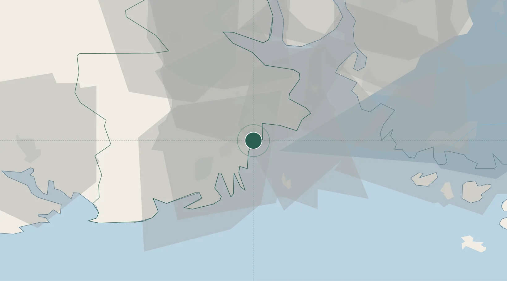
Populated place
Region
Vestfold
Population
2,067
Time zone
Europe/Oslo
Elevation
6 m
Location
Nearby Logistics Neighbours
Cities
- 1Kjøpmannskjær6 km
- 2Tønsberg6 km
- 3Husøy - Tønsberg7 km
- 4Jarlsøy8 km
- 5Valløy11 km
Ports
- 1Tonsberg7 km
- 2Valloy10 km
- 3Sandefjorden14 km
- 4Slagenstangen16 km
- 5Horten24 km
Airports
- 1Sandefjord Airport, Torp5 km
- 2Moss Airport, Rygge31 km
- 3Skien Airport44 km
- 4Notodden Airport74 km
- 5Oslo-Gardermoen International Airport117 km
Trade Zones
DatabookThe Record of Consolidated Knowledge
Norway beyond logistics?