UN/LOCODE hub · Norway
NOTON

Tønsberg

59.2500°, 10.4167°
3
Transport functions

Transport Functions

Port
Rail
Road
Tønsberg is also a profiled seaport →
UN/LOCODE

Hub Profile

Region
07
GeoNames

Location

Location of NOTON
Natural Earth 10m (public domain) · 07 · NOTON · 59.25, 10.42GoogleOSMYandex

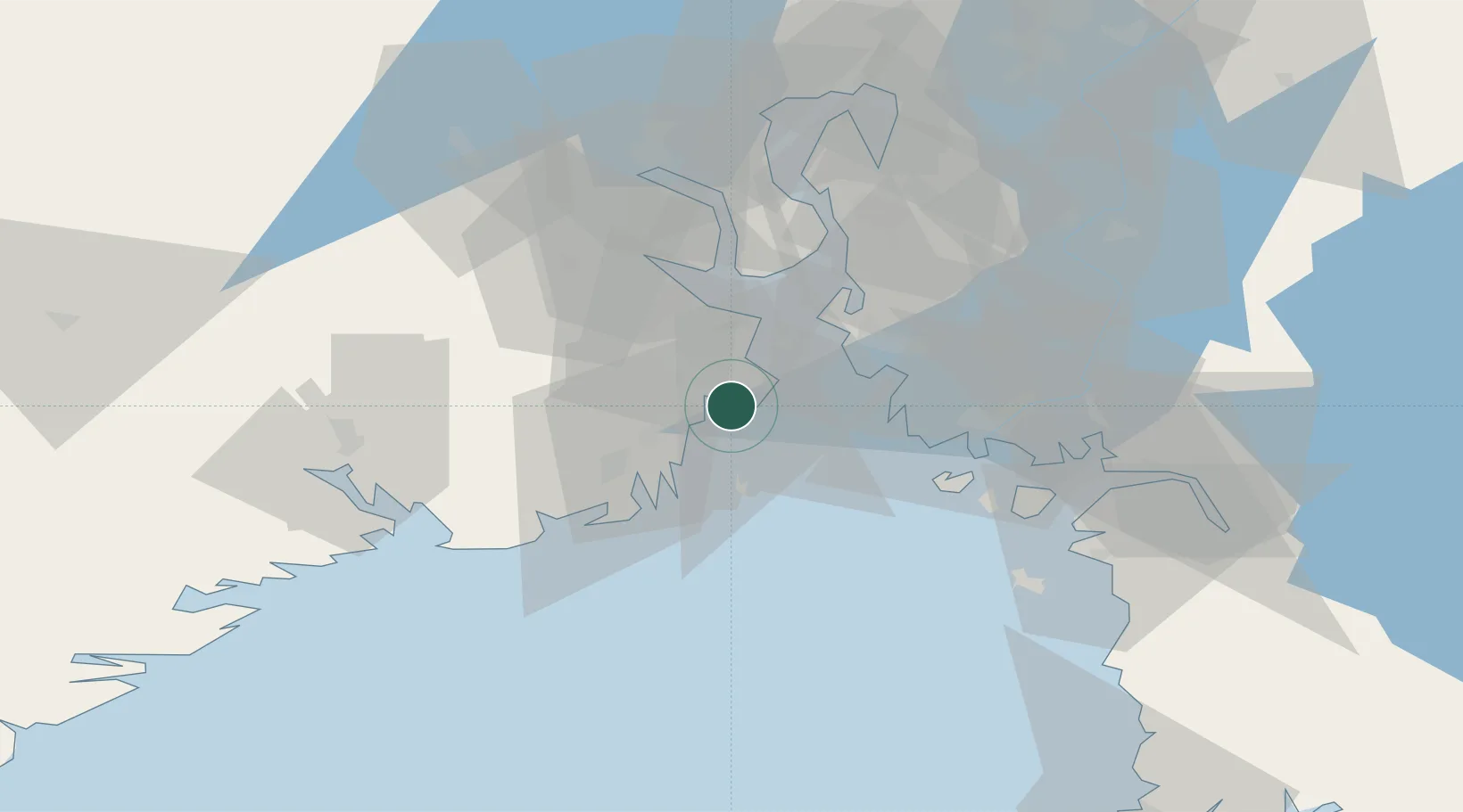
Nearby Logistics Neighbours

Cities
  1. 1Husøy - Tønsberg3 km
  2. 2Jarlsøy3 km
  3. 3Valløy5 km
  4. 4Melsomvik6 km
  5. 5Slagentangen9 km
Nearest neighbours — logibook spatial index (haversine) over the source coordinates
Ports
  1. 1Valloy4 km
  2. 2Slagenstangen10 km
  3. 3Horten19 km
  4. 4Sandefjorden20 km
  5. 5Moss25 km
Nearest neighbours — logibook spatial index (haversine) over the source coordinates
Airports
  1. 1Sandefjord Airport, Torp11 km
  2. 2Moss Airport, Rygge25 km
  3. 3Skien Airport49 km
  4. 4Notodden Airport77 km
  5. 5Oslo-Gardermoen International Airport112 km
Nearest neighbours — logibook spatial index (haversine) over the source coordinates
Trade Zones
  1. 1Gothenburg Boundless Customs Warehouse190 km
  2. 2Jönköping Free Zone270 km
  3. 3Freeport of Copenhagen- Nordhavn414 km
  4. 4MTS Malmö Transport and Spedition436 km
  5. 5Stockholm Free Zone437 km
Nearest neighbours — logibook spatial index (haversine) over the source coordinates
DatabookThe Record of Consolidated Knowledge
Norway beyond logistics?
Browse databook

All Sources

LocationsUN/LOCODE
UN/LOCODE — free
Portsthe NGA World Port Index
Public domain (US gov)
AirportsOurAirports
Public domain
Trade Zonesthe World Bank SEZ database
CC BY 4.0
Trade ZonesOpen Zone Map
CC BY
← Norway locations