Transport Functions
Port
Road
Hub Profile
Region
07
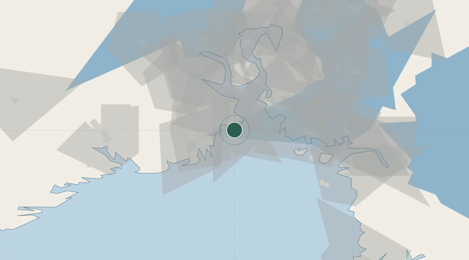
Location
Nearby Logistics Neighbours
Cities
- 1Jarlsøy2 km
- 2Tønsberg3 km
- 3Valløy5 km
- 4Melsomvik7 km
- 5Kjøpmannskjær9 km
Ports
- 1Valloy4 km
- 2Tonsberg4 km
- 3Slagenstangen11 km
- 4Sandefjorden19 km
- 5Horten21 km
Airports
- 1Sandefjord Airport, Torp12 km
- 2Moss Airport, Rygge25 km
- 3Skien Airport51 km
- 4Notodden Airport79 km
- 5Oslo-Gardermoen International Airport113 km
Trade Zones
DatabookThe Record of Consolidated Knowledge
Norway beyond logistics?