UN/LOCODE hub · Norway
NOTAL

Tælavåg

60.2500°, 4.9833°
1
Transport functions

Transport Functions

Port
UN/LOCODE

Hub Profile

Region
12
GeoNames

Location

Location of NOTAL
Natural Earth 10m (public domain) · 12 · NOTAL · 60.25, 4.98GoogleOSMYandex

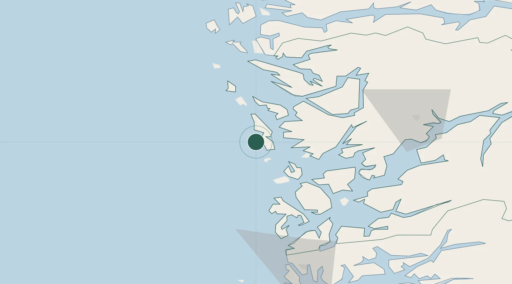
Nearby Logistics Neighbours

Cities
  1. 1Eide Sotra5 km
  2. 2Glesvær6 km
  3. 3Skogsvåg6 km
  4. 4Brattholmen14 km
  5. 5Knarrevik16 km
Nearest neighbours — logibook spatial index (haversine) over the source coordinates
Ports
  1. 1Brattholmen15 km
  2. 2Haakonsvern17 km
  3. 3Bergen24 km
  4. 4Stura42 km
  5. 5Vaksdal48 km
Nearest neighbours — logibook spatial index (haversine) over the source coordinates
Airports
  1. 1Bergen Airport, Flesland14 km
  2. 2Stord Airport, Sørstokken55 km
  3. 3Haugesund Airport, Karmøy101 km
  4. 4Førde Airport, Bringeland134 km
  5. 5Florø Airport148 km
Nearest neighbours — logibook spatial index (haversine) over the source coordinates
Trade Zones
  1. 1Gothenburg Boundless Customs Warehouse483 km
  2. 2Freeport of Copenhagen- Nordhavn675 km
  3. 3MTS Malmö Transport and Spedition703 km
  4. 4North Eastern Enterprise Zone706 km
  5. 5Freeport of Kiel728 km
Nearest neighbours — logibook spatial index (haversine) over the source coordinates
DatabookThe Record of Consolidated Knowledge
Norway beyond logistics?
Browse databook

All Sources

LocationsUN/LOCODE
UN/LOCODE — free
Portsthe NGA World Port Index
Public domain (US gov)
AirportsOurAirports
Public domain
Trade Zonesthe World Bank SEZ database
CC BY 4.0
Trade ZonesOpen Zone Map
CC BY
← Norway locations