UN/LOCODE hub · Norway
NOOMB

Ombo

59.2333°, 6.0167°
1
Transport functions

Transport Functions

Port
UN/LOCODE

Hub Profile

Region
11
GeoNames

Location

Location of NOOMB
Natural Earth 10m (public domain) · 11 · NOOMB · 59.23, 6.02GoogleOSMYandex

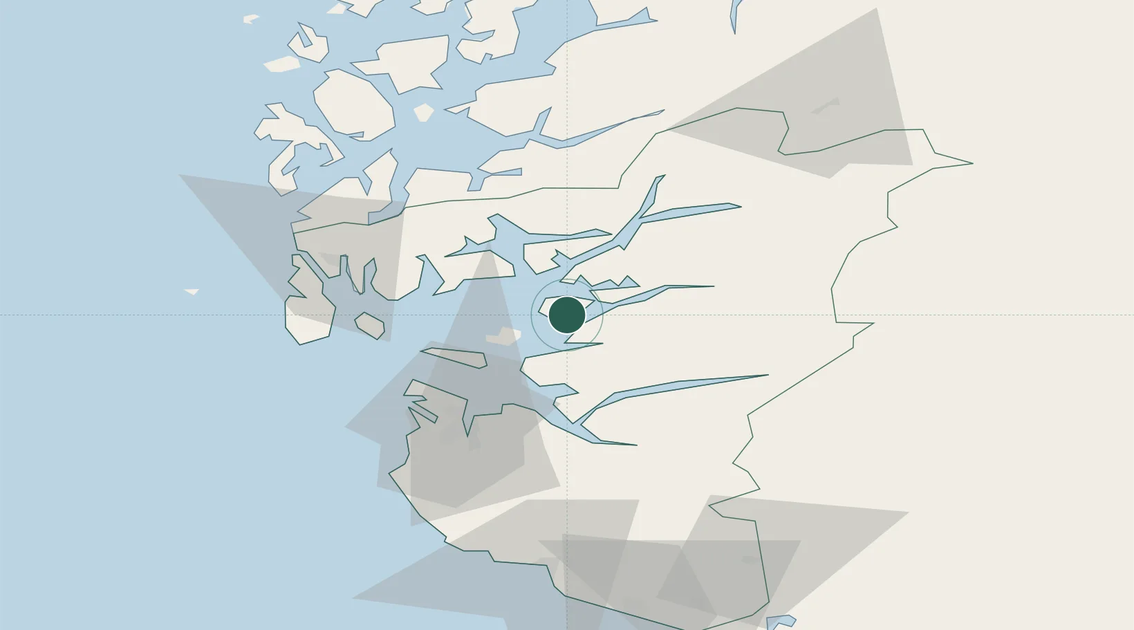
Nearby Logistics Neighbours

Cities
  1. 1Skiftun9 km
  2. 2Hjelmeland10 km
  3. 3Jelsa11 km
  4. 4Årdal - Hjelmeland13 km
  5. 5Finnøy14 km
Nearest neighbours — logibook spatial index (haversine) over the source coordinates
Ports
  1. 1Karsto29 km
  2. 2Stavanger33 km
  3. 3Kopervik40 km
  4. 4Tananger42 km
  5. 5Sandnes43 km
Nearest neighbours — logibook spatial index (haversine) over the source coordinates
Airports
  1. 1Stavanger Airport, Sola45 km
  2. 2Haugesund Airport, Karmøy48 km
  3. 3Stord Airport, Sørstokken73 km
  4. 4Bergen Airport, Flesland126 km
  5. 5Kristiansand Airport165 km
Nearest neighbours — logibook spatial index (haversine) over the source coordinates
Trade Zones
  1. 1Gothenburg Boundless Customs Warehouse377 km
  2. 2Jönköping Free Zone496 km
  3. 3Freeport of Copenhagen- Nordhavn555 km
  4. 4MTS Malmö Transport and Spedition585 km
  5. 5Freeport of Kiel601 km
Nearest neighbours — logibook spatial index (haversine) over the source coordinates
DatabookThe Record of Consolidated Knowledge
Norway beyond logistics?
Browse databook

All Sources

LocationsUN/LOCODE
UN/LOCODE — free
Portsthe NGA World Port Index
Public domain (US gov)
AirportsOurAirports
Public domain
Trade Zonesthe World Bank SEZ database
CC BY 4.0
Trade ZonesOpen Zone Map
CC BY
← Norway locations