Transport Functions
Port
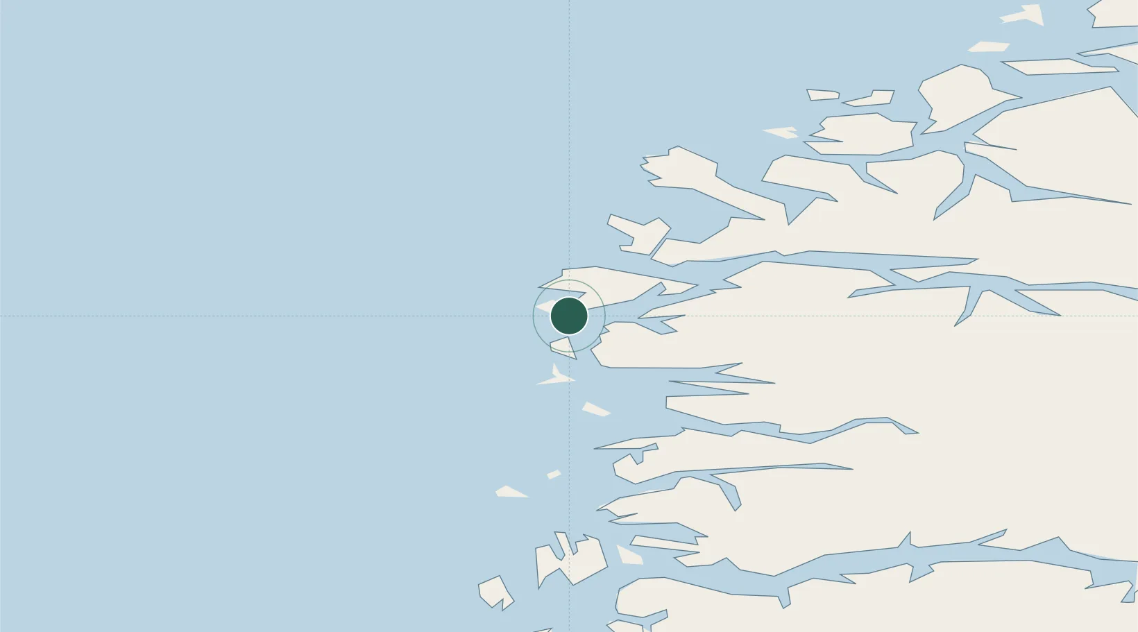
Hub Profile
Place type
Populated place
Region
Vestland
Population
353
Time zone
Europe/Oslo
Location
Nearby Logistics Neighbours
Cities
- 1Iglandsvik8 km
- 2Dyrstad16 km
- 3Botnaneset - Flora19 km
- 4Florø20 km
- 5Flora20 km
Ports
- 1Floro20 km
- 2Maloy22 km
- 3Moldtustranda72 km
- 4Orstav80 km
- 5Hareid90 km
Airports
- 1Florø Airport22 km
- 2Førde Airport, Bringeland62 km
- 3Sandane Airport, Anda65 km
- 4Ørsta-Volda Airport, Hovden77 km
- 5Ålesund Airport109 km
Trade Zones
DatabookThe Record of Consolidated Knowledge
Norway beyond logistics?