Transport Functions
Port
Road
Hub Profile
Place type
Populated place
Region
Vestland
Population
3,821
Time zone
Europe/Oslo
Elevation
20 m
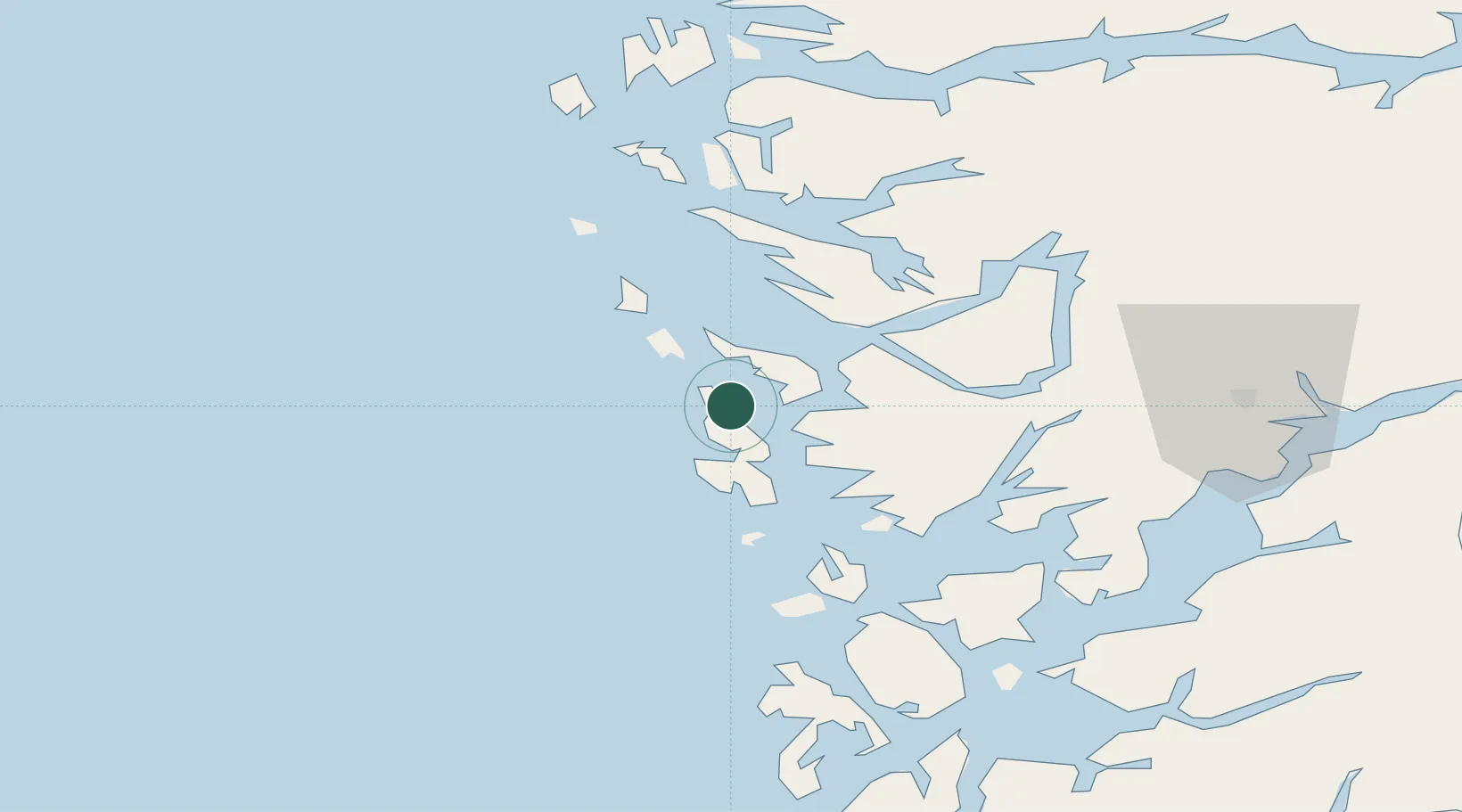
Location
Nearby Logistics Neighbours
Cities
- 1Hanøytangen6 km
- 2Knarrevik8 km
- 3Horsøy9 km
- 4Brattholmen9 km
- 5Skarholmen10 km
Ports
- 1Brattholmen11 km
- 2Haakonsvern14 km
- 3Bergen16 km
- 4Stura26 km
- 5Vaksdal40 km
Airports
- 1Bergen Airport, Flesland16 km
- 2Stord Airport, Sørstokken70 km
- 3Førde Airport, Bringeland117 km
- 4Haugesund Airport, Karmøy118 km
- 5Florø Airport132 km
Trade Zones
DatabookThe Record of Consolidated Knowledge
Norway beyond logistics?