UN/LOCODE hub · Norway
NOELL

Ellingsøy

62.5000°, 6.3333°
2
Transport functions

Transport Functions

Port
Road
UN/LOCODE

Hub Profile

Region
15
GeoNames

Location

Location of NOELL
Natural Earth 10m (public domain) · 15 · NOELL · 62.50, 6.33GoogleOSMYandex

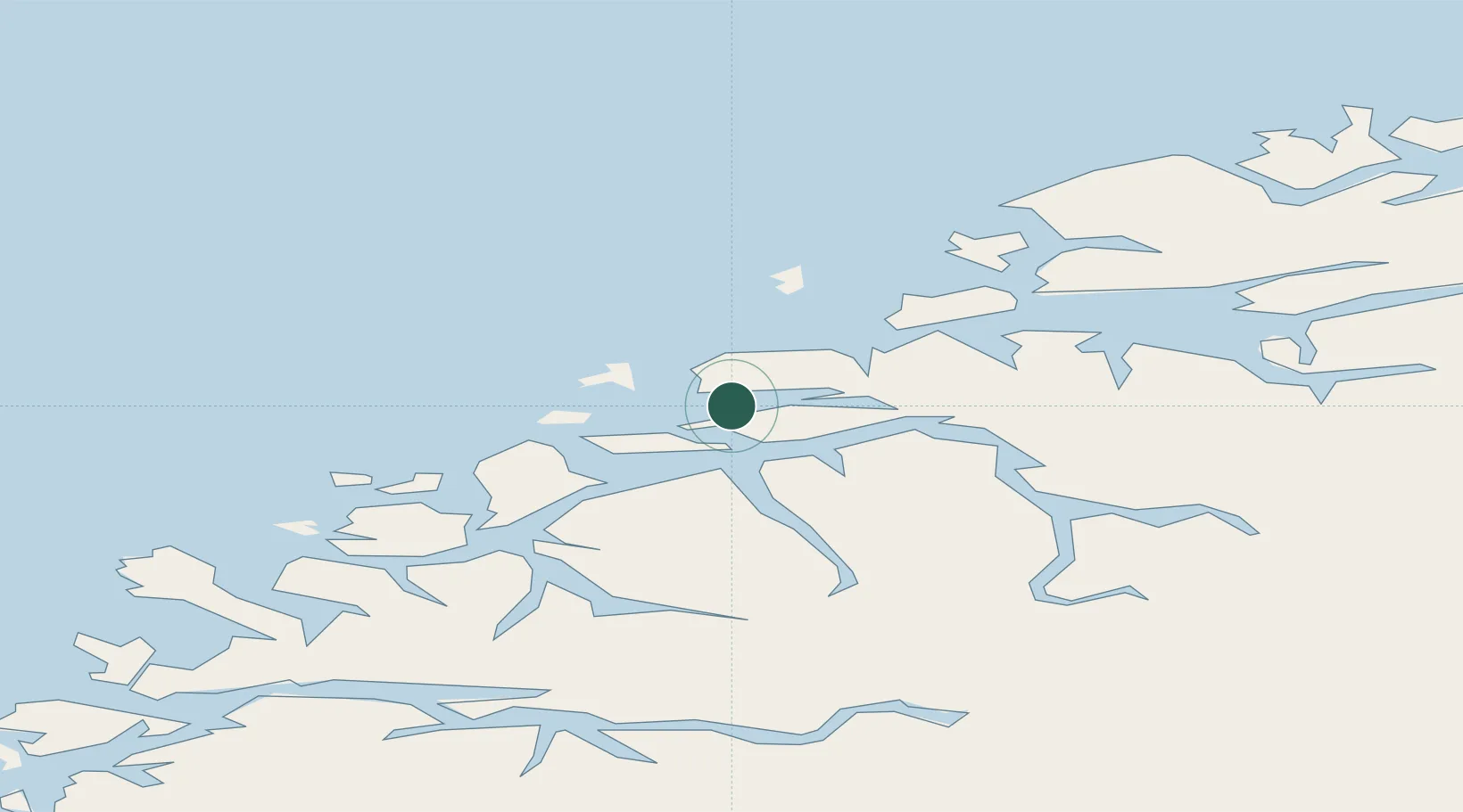
Nearby Logistics Neighbours

Cities
  1. 1Alvika3 km
  2. 2Grytestranda4 km
  3. 3Spjelkavik6 km
  4. 4Fiskarstrand6 km
  5. 5Ålesund8 km
Nearest neighbours — logibook spatial index (haversine) over the source coordinates
Ports
  1. 1Alesund9 km
  2. 2Hareid21 km
  3. 3Orstav36 km
  4. 4Moldtustranda42 km
  5. 5Molde50 km
Nearest neighbours — logibook spatial index (haversine) over the source coordinates
Airports
  1. 1Ålesund Airport13 km
  2. 2Ørsta-Volda Airport, Hovden38 km
  3. 3Molde Airport, Årø55 km
  4. 4Sandane Airport, Anda75 km
  5. 5Kristiansund Airport, Kvernberget102 km
Nearest neighbours — logibook spatial index (haversine) over the source coordinates
Trade Zones
  1. 1Gothenburg Boundless Customs Warehouse613 km
  2. 2Jönköping Free Zone679 km
  3. 3Freeport of Copenhagen- Nordhavn834 km
  4. 4MTS Malmö Transport and Spedition858 km
  5. 5Freeport of Kiel935 km
Nearest neighbours — logibook spatial index (haversine) over the source coordinates
DatabookThe Record of Consolidated Knowledge
Norway beyond logistics?
Browse databook

All Sources

LocationsUN/LOCODE
UN/LOCODE — free
Portsthe NGA World Port Index
Public domain (US gov)
AirportsOurAirports
Public domain
Trade Zonesthe World Bank SEZ database
CC BY 4.0
Trade ZonesOpen Zone Map
CC BY
← Norway locations