UN/LOCODE hub · Netherlands
NLGSS
Gasselternijveen
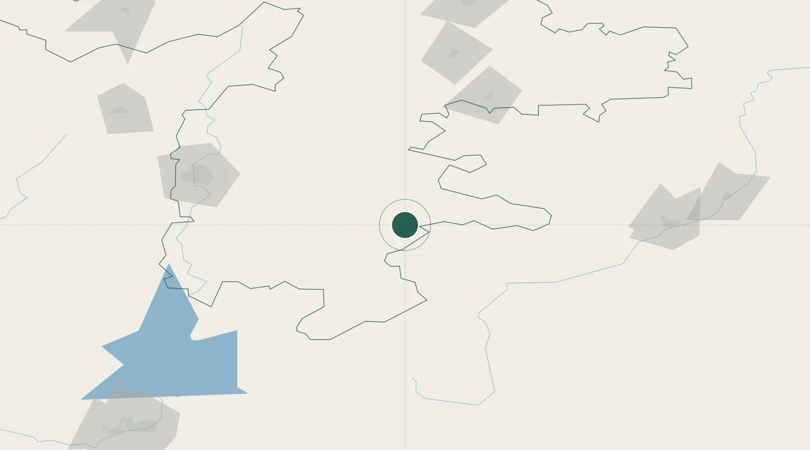
52.9833°, 60.8500°
1,780
Population
2
Transport functions
Transport Functions
Port
Multimodal
Hub Profile
Place type
Populated place
Region
Drenthe
Population
1,780
Time zone
Europe/Amsterdam
Elevation
5 m
Location
Nearby Logistics Neighbours
Cities
- 1Lieren107 km
- 2Fluitenberg158 km
- 3Kustanai184 km
- 4Chebarkul'223 km
- 5Miass228 km
Ports
- 1Rostov-Na-Donu1633 km
- 2Azov1655 km
- 3Taganrog1681 km
- 4Mezen1700 km
- 5Arkhangels'k1723 km
Airports
- 1Kvarkeno Airport128 km
- 2Magnitogorsk International Airport147 km
- 3Uprun Air Base158 km
- 4Kostanay International Airport182 km
- 5Svetlyy Airport243 km
DatabookThe Record of Consolidated Knowledge
Netherlands beyond logistics?