Transport Functions
Port
Rail
Road
Hub Profile
Place type
Provincial seat
Region
Chelyabinsk
Population
46,502
Time zone
Asia/Yekaterinburg
Elevation
340 m
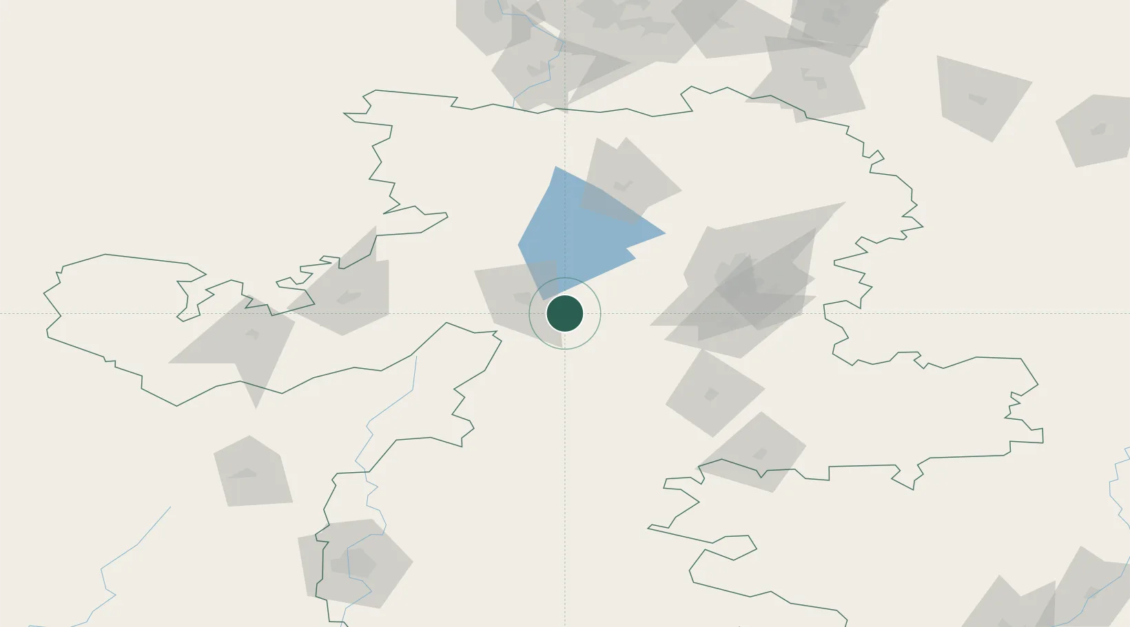
Location
Nearby Logistics Neighbours
Cities
- 1Miass17 km
- 2Chelyabinsk66 km
- 3Satka86 km
- 4Shumikha188 km
- 5Kamensk-Ural'skiy189 km
Ports
- 1Mezen1491 km
- 2Arkhangels'k1526 km
- 3Severodvinsk1559 km
- 4Rostov-Na-Donu1674 km
- 5Azov1696 km
Airports
- 1Kurchatov Chelyabinsk International Airport82 km
- 2Uprun Air Base91 km
- 3Kamensk-Uralskiy Air Base192 km
- 4Uktus Airport195 km
- 5Koltsovo Airport199 km
DatabookThe Record of Consolidated Knowledge
Russia beyond logistics?