Transport Functions
Port
Rail
Road
Hub Profile
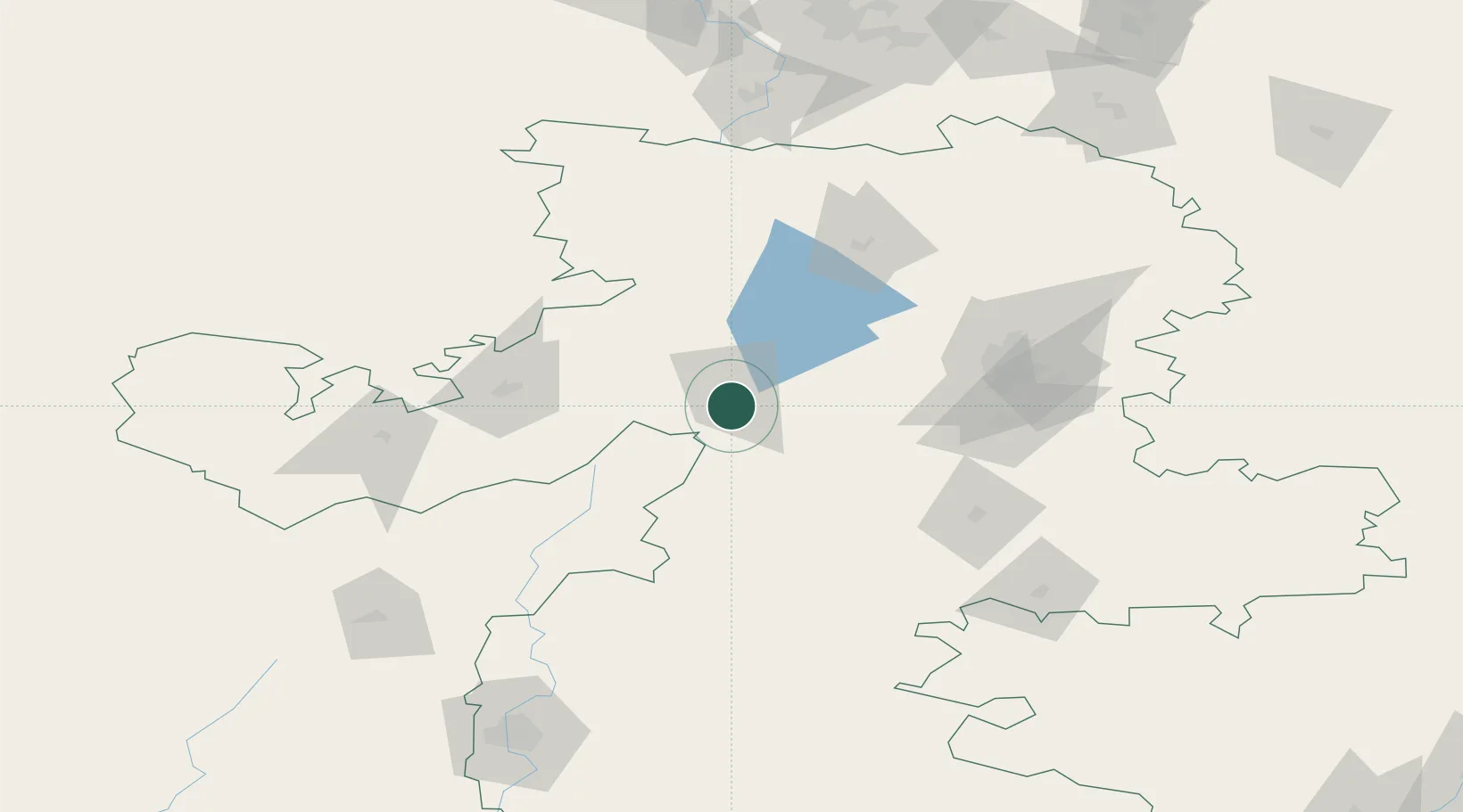
Place type
Provincial seat
Region
Chelyabinsk
Population
167,500
Time zone
Asia/Yekaterinburg
Elevation
341 m
Location
Nearby Logistics Neighbours
Cities
- 1Chebarkul'17 km
- 2Satka68 km
- 3Chelyabinsk83 km
- 4Kamensk-Ural'skiy197 km
- 5Shumikha204 km
Ports
- 1Mezen1481 km
- 2Arkhangels'k1514 km
- 3Severodvinsk1547 km
- 4Rostov-Na-Donu1659 km
- 5Azov1681 km
Airports
- 1Kurchatov Chelyabinsk International Airport96 km
- 2Uprun Air Base105 km
- 3Uktus Airport196 km
- 4Magnitogorsk International Airport197 km
- 5Kamensk-Uralskiy Air Base200 km
DatabookThe Record of Consolidated Knowledge
Russia beyond logistics?