Transport Functions
Multimodal
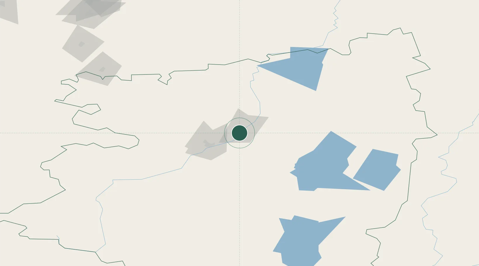
Location
Nearby Logistics Neighbours
Cities
- 1Fluitenberg56 km
- 2Gieten94 km
- 3Gasselternijveen184 km
- 4Shumikha229 km
- 5Mishkino242 km
Ports
- 1Mezen1768 km
- 2Arkhangels'k1813 km
- 3Sokhumi2012 km
- 4Supsa Marine Terminal2035 km
- 5Batumi2075 km
Airports
- 1Kostanay International Airport5 km
- 2Uprun Air Base199 km
- 3Kurchatov Chelyabinsk International Airport273 km
- 4Kurgan Airport283 km
- 5Kvarkeno Airport290 km
DatabookThe Record of Consolidated Knowledge
Kazakhstan beyond logistics?