UN/LOCODE hub · Netherlands
NLDFG

Fluitenberg

52.7333°, 63.1667°
1
Transport functions

Transport Functions

Multimodal
UN/LOCODE

Hub Profile

Place type
Populated place
GeoNames
Region
Drenthe
GeoNames
Time zone
Europe/Amsterdam
GeoNames
Elevation
11 m
GeoNames

Location

Location of NLDFG
Natural Earth 10m (public domain) · Drenthe · NLDFG · 52.73, 63.17GoogleOSMYandex

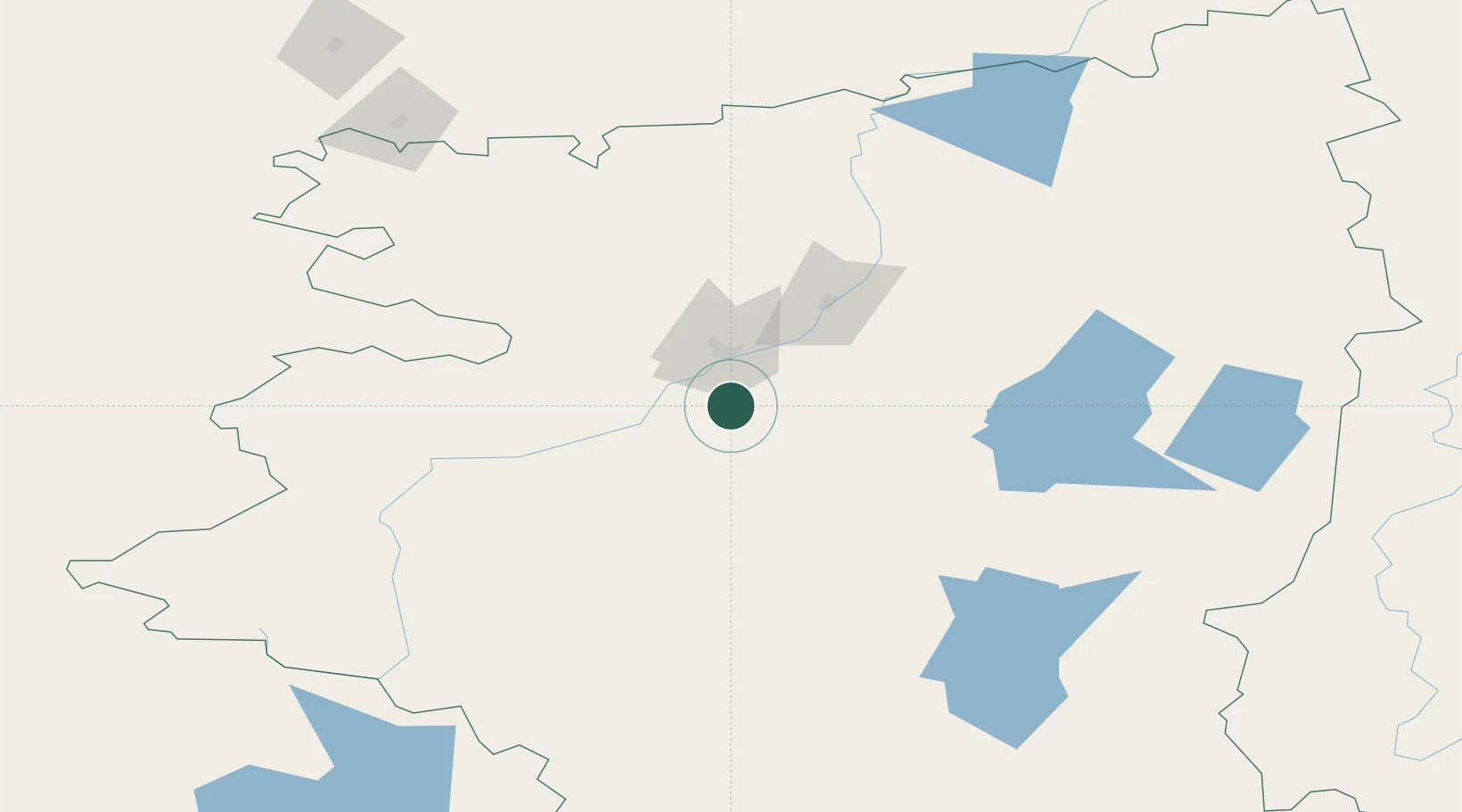
Nearby Logistics Neighbours

Cities
  1. 1Kustanai56 km
  2. 2Gieten132 km
  3. 3Gasselternijveen158 km
  4. 4Lieren224 km
  5. 5Shumikha276 km
Nearest neighbours — logibook spatial index (haversine) over the source coordinates
Ports
  1. 1Mezen1797 km
  2. 2Arkhangels'k1835 km
  3. 3Sokhumi1966 km
  4. 4Supsa Marine Terminal1988 km
  5. 5Batumi2027 km
Nearest neighbours — logibook spatial index (haversine) over the source coordinates
Airports
  1. 1Kostanay International Airport59 km
  2. 2Uprun Air Base218 km
  3. 3Kvarkeno Airport247 km
  4. 4Svetlyy Airport265 km
  5. 5Magnitogorsk International Airport304 km
Nearest neighbours — logibook spatial index (haversine) over the source coordinates
DatabookThe Record of Consolidated Knowledge
Netherlands beyond logistics?
Browse databook

All Sources

LocationsUN/LOCODE
UN/LOCODE — free
Portsthe NGA World Port Index
Public domain (US gov)
AirportsOurAirports
Public domain
Trade Zonesthe World Bank SEZ database
CC BY 4.0
Trade ZonesOpen Zone Map
CC BY
← Netherlands locations