Transport Functions
Multimodal
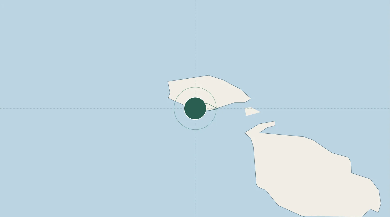
Hub Profile
Place type
Regional capital
Region
Il-Munxar
Population
840
Time zone
Europe/Malta
Elevation
114 m
Location
Nearby Logistics Neighbours
Cities
- 1Mgarr, Gozo5 km
- 2Mgarr16 km
- 3Saint Paul's Bay (San Pawl il-Bahar)16 km
- 4Attard23 km
- 5Balzan23 km
Ports
- 1Valletta Harbors29 km
- 2Marsaxlokk36 km
- 3Pozzallo95 km
- 4Gela117 km
- 5Licata123 km
Airports
- 1Xewkija Heliport4 km
- 2Malta International Airport30 km
- 3Comiso Airport114 km
- 4Lampedusa Airport157 km
- 5Sigonella Navy Air Base166 km
Trade Zones
DatabookThe Record of Consolidated Knowledge
Malta beyond logistics?