UN/LOCODE hub · Malta
MTSPB

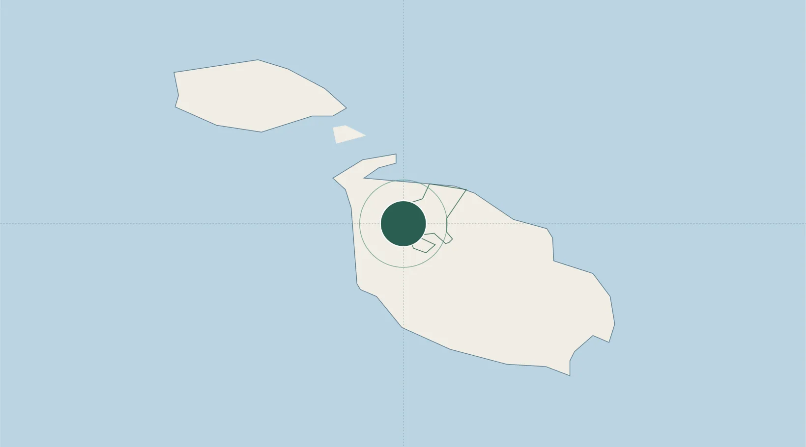
Saint Paul's Bay (San Pawl il-Bahar)

35.9333°, 14.3833°
1
Transport functions

Transport Functions

Port
UN/LOCODE

Hub Profile

Region
51
GeoNames

Location

Location of MTSPB
Natural Earth 10m (public domain) · 51 · MTSPB · 35.93, 14.38GoogleOSMYandex

Nearby Logistics Neighbours

Cities
  1. 1Mgarr2 km
  2. 2Balzan7 km
  3. 3Attard7 km
  4. 4Mriehel8 km
  5. 5Msida9 km
Nearest neighbours — logibook spatial index (haversine) over the source coordinates
Ports
  1. 1Valletta Harbors13 km
  2. 2Marsaxlokk20 km
  3. 3Pozzallo97 km
  4. 4Gela127 km
  5. 5Licata135 km
Nearest neighbours — logibook spatial index (haversine) over the source coordinates
Airports
  1. 1Malta International Airport14 km
  2. 2Xewkija Heliport14 km
  3. 3Comiso Airport120 km
  4. 4Lampedusa Airport167 km
  5. 5Sigonella Navy Air Base170 km
Nearest neighbours — logibook spatial index (haversine) over the source coordinates
Trade Zones
  1. 1Malta Freeport19 km
  2. 2Sicily Special Economic Zone Area181 km
  3. 3Zwara-Abu-Kemmash Free Trade Zone397 km
  4. 4Ben Guerdane Economic Free Zone404 km
  5. 5Zarzis Park of Economic Activities405 km
Nearest neighbours — logibook spatial index (haversine) over the source coordinates
DatabookThe Record of Consolidated Knowledge
Malta beyond logistics?
Browse databook

All Sources

LocationsUN/LOCODE
UN/LOCODE — free
Portsthe NGA World Port Index
Public domain (US gov)
AirportsOurAirports
Public domain
Trade Zonesthe World Bank SEZ database
CC BY 4.0
Trade ZonesOpen Zone Map
CC BY
← Malta locations