Seaport · Malta
MarsaxlokkMTMAR
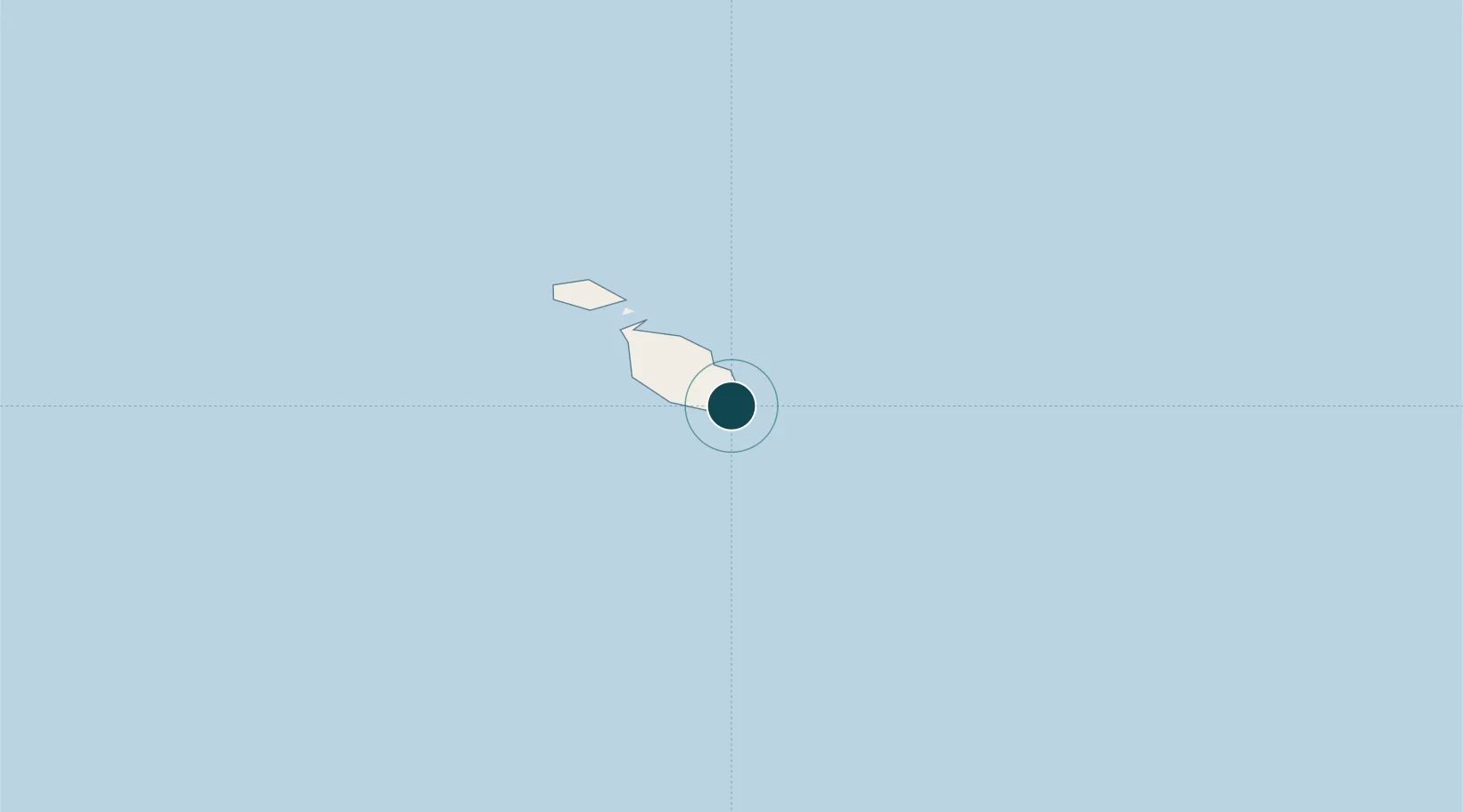
35.8167°, 14.5500°
14.0 m
Channel depth
1
Container terminals
236.7
Port liner connectivity
Channel & Berth Profile
Pilotage, Tugs & Services
Pilotage compulsoryYES
Pilotage availableYES
Tug assistanceYES
Potable waterYES
Diesel bunkersYES
MedicalYES
Garbage disposalYES
Facilities & Capabilities
Container—
Ro-Ro—
Liquid bulk—
Dry bulk—
Oil terminal—
Break bulk—
Dry dock—
Repairs—
BunkeringYES
Rail link—
Dangerous cargo—
ISPS security—
Harbour Specifications
Harbour size
Small
Harbour type
Coastal (Natural)
Shelter
Good
Water body
Mediterranean Sea; North Atlantic Ocean
Pilotage
Yes
Liner Connectivity
236.7
PLSCI
Port Liner Shipping Connectivity Index for Marsaxlokk, as published by UNCTAD for the latest available quarter. Higher values indicate stronger scheduled liner-shipping integration.
Shown relative to the highest per-port PLSCI in the dataset (1,657.9).
Location
Container Terminals · 1
MALTA FREEPORT TERMINALS
FREE MALTA FREEPORT TERMINALS LTD.
Nearby Logistics Neighbours
Ports
- 1Valletta Harbors10 km
- 2Pozzallo104 km
- 3Gela142 km
- 4Siracusa152 km
- 5Licata152 km
Cities
- 1Delimara0 km
- 2Birzebbugia2 km
- 3Malta Freeport Distripark2 km
- 4Ghaxaq4 km
- 5Gudja5 km
Airports
- 1Malta International Airport6 km
- 2Xewkija Heliport34 km
- 3Comiso Airport131 km
- 4Lampedusa Airport178 km
- 5Sigonella Navy Air Base179 km
Trade Zones
- 1Malta Freeport1 km
- 2Sicily Special Economic Zone Area195 km
- 3Misurata Free Zone392 km
- 4Zwara-Abu-Kemmash Free Trade Zone395 km
- 5Ben Guerdane Economic Free Zone405 km
DatabookThe Record of Consolidated Knowledge
Malta beyond logistics?