UN/LOCODE hub · Malta
MTMGZ

Mgarr, Gozo

36.0167°, 14.2833°
2
Transport functions

Transport Functions

Port
Road
UN/LOCODE

Hub Profile

Region
11
GeoNames

Location

Location of MTMGZ
Natural Earth 10m (public domain) · 11 · MTMGZ · 36.02, 14.28GoogleOSMYandex

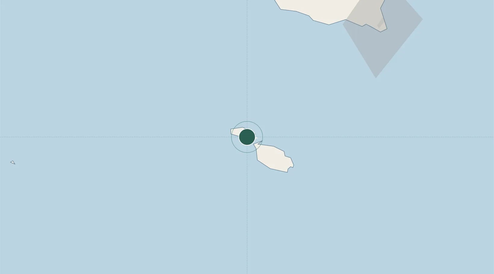
Nearby Logistics Neighbours

Cities
  1. 1Munxar5 km
  2. 2Saint Paul's Bay (San Pawl il-Bahar)13 km
  3. 3Mgarr13 km
  4. 4Balzan20 km
  5. 5Attard20 km
Nearest neighbours — logibook spatial index (haversine) over the source coordinates
Ports
  1. 1Valletta Harbors25 km
  2. 2Marsaxlokk33 km
  3. 3Pozzallo93 km
  4. 4Gela117 km
  5. 5Licata124 km
Nearest neighbours — logibook spatial index (haversine) over the source coordinates
Airports
  1. 1Xewkija Heliport2 km
  2. 2Malta International Airport27 km
  3. 3Comiso Airport113 km
  4. 4Lampedusa Airport161 km
  5. 5Sigonella Navy Air Base164 km
Nearest neighbours — logibook spatial index (haversine) over the source coordinates
Trade Zones
  1. 1Malta Freeport32 km
  2. 2Sicily Special Economic Zone Area171 km
  3. 3Zwara-Abu-Kemmash Free Trade Zone400 km
  4. 4Calabria Special Economic Zone404 km
  5. 5Zarzis Park of Economic Activities404 km
Nearest neighbours — logibook spatial index (haversine) over the source coordinates
DatabookThe Record of Consolidated Knowledge
Malta beyond logistics?
Browse databook

All Sources

LocationsUN/LOCODE
UN/LOCODE — free
Portsthe NGA World Port Index
Public domain (US gov)
AirportsOurAirports
Public domain
Trade Zonesthe World Bank SEZ database
CC BY 4.0
Trade ZonesOpen Zone Map
CC BY
← Malta locations